

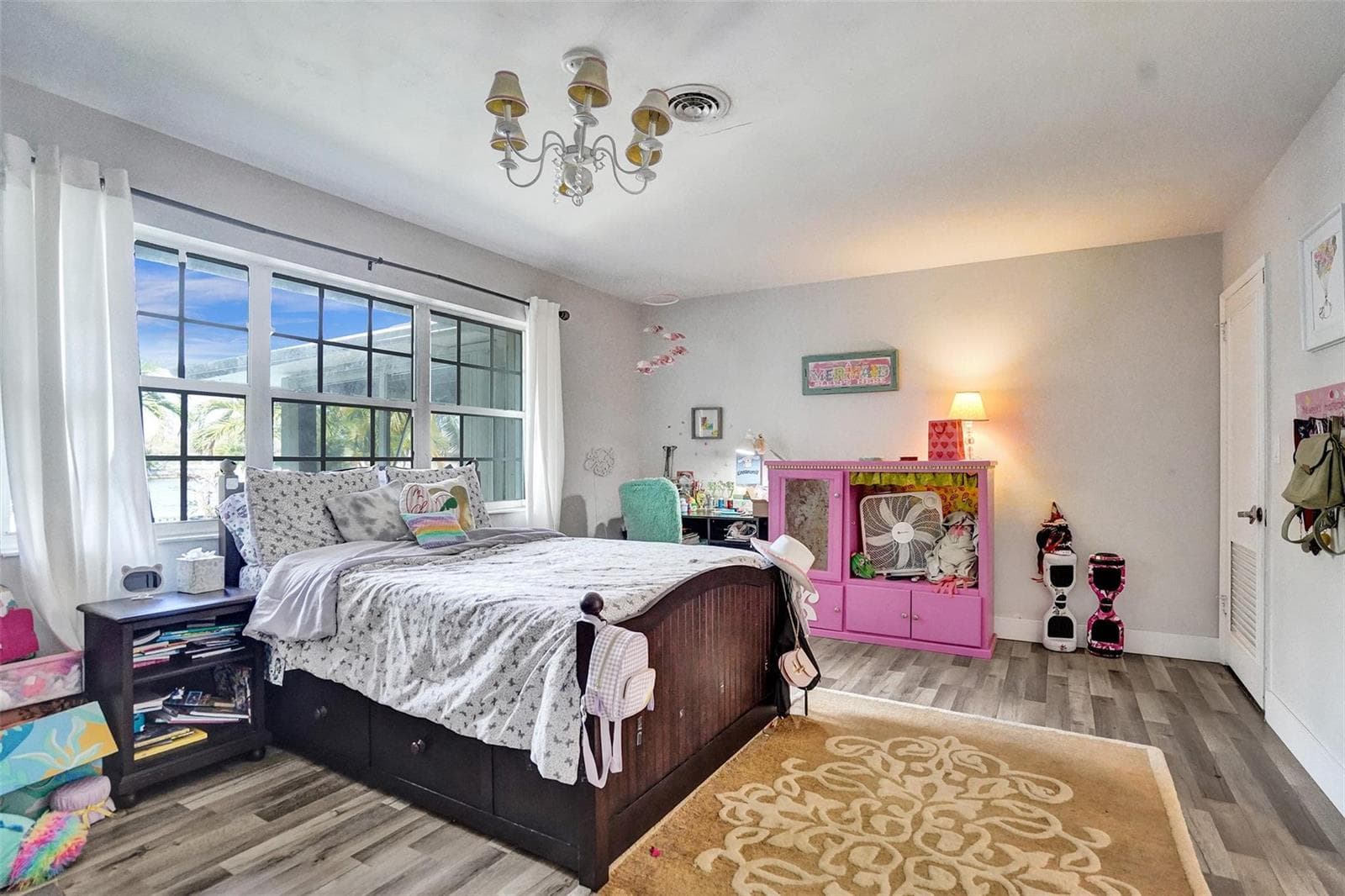
1325 MIDDLE RIVER Drive
Fort Lauderdale, FL, 33304
Active$2,950,000
1325 MIDDLE RIVER Drive
Fort Lauderdale, FL, 33304
Active$2,950,000
3
Bedrooms
3
Bathrooms
2,768 sqft
Living Area
1956
Year Built
14,500
Lot Size (sqft)
54
Days on Market
Dock Score™
DockOnlyWhat shaped this score
DockOnly.com rating, not provided by the MLS or listing broker.
Dock & Water AccessMLS
AI Aerial Imagery Detection
Detected by AI from open-source aerial mapping imagery and may not reflect current conditions. This information was not provided by the MLS or listing broker. Always verify dock infrastructure with the listing agent.
WaterwayDockOnly
No canal width is published for this dock — we found no facing bank within canal range to measure against.
That is the absence of a measurement, not a finding of open-water frontage. Check the waterway, depth and slip dimensions with the listing agent.
Getting out to open water is not bridge-free from here — see Navigation Route below for the crossings on the way.
Navigation RouteDockOnly
Data sources: SFWMD AHED waterway polygons · FHWA National Bridge Inventory 2024 · Not provided by the MLS or listing broker.
Description
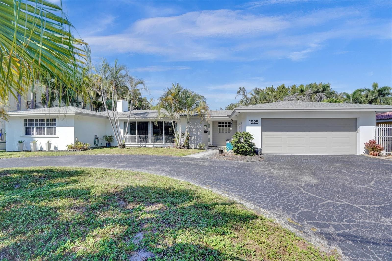
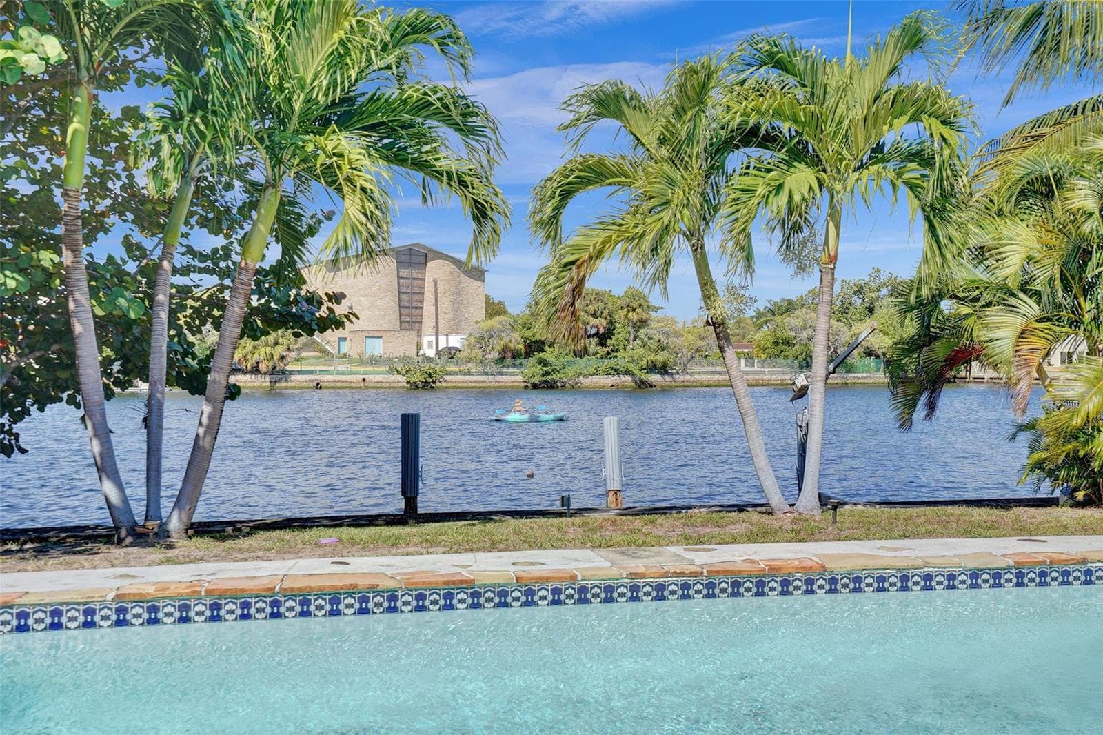
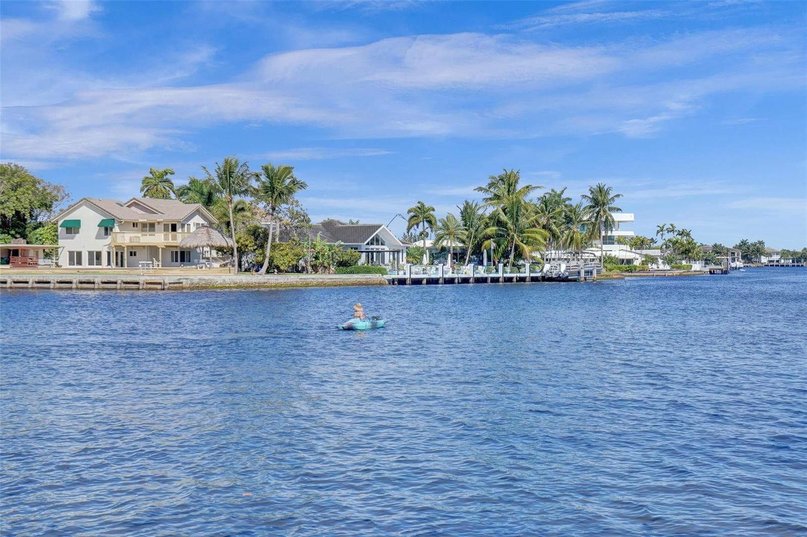
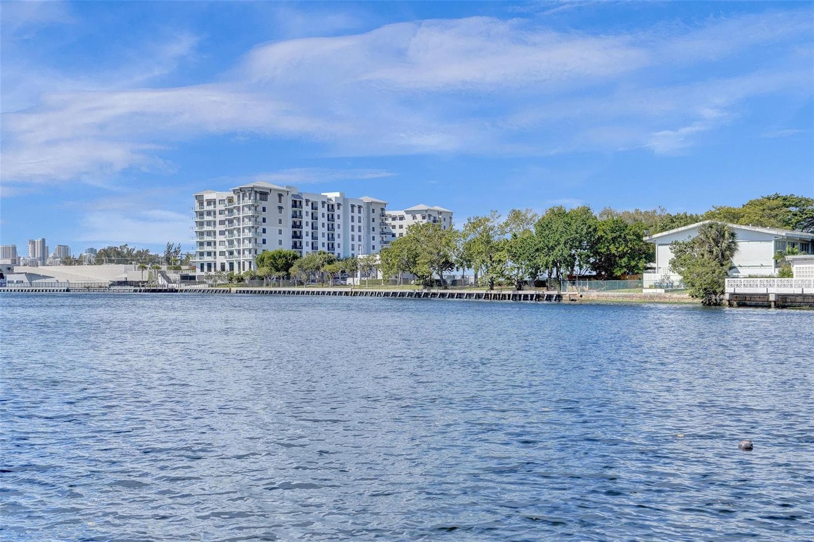
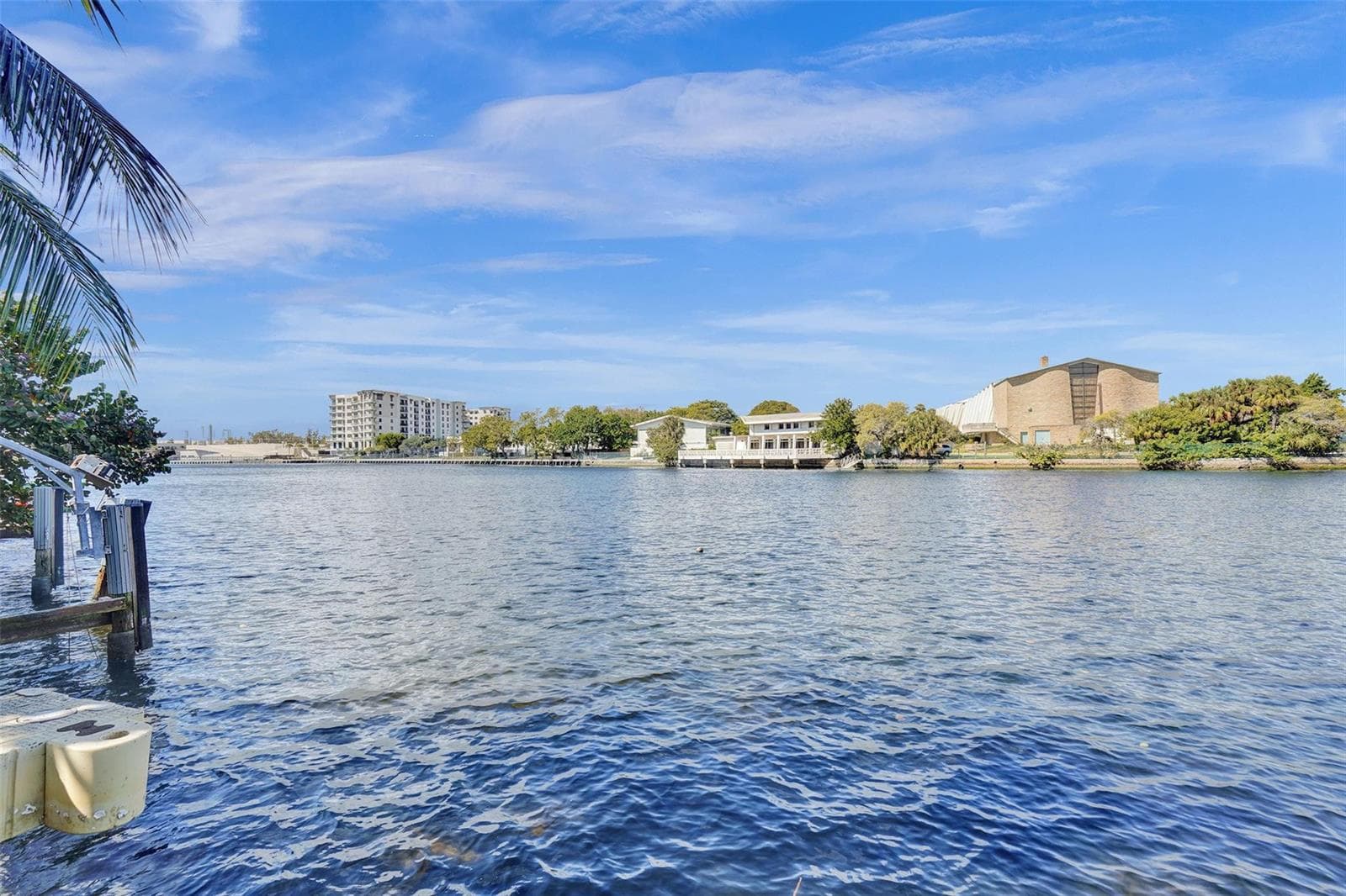
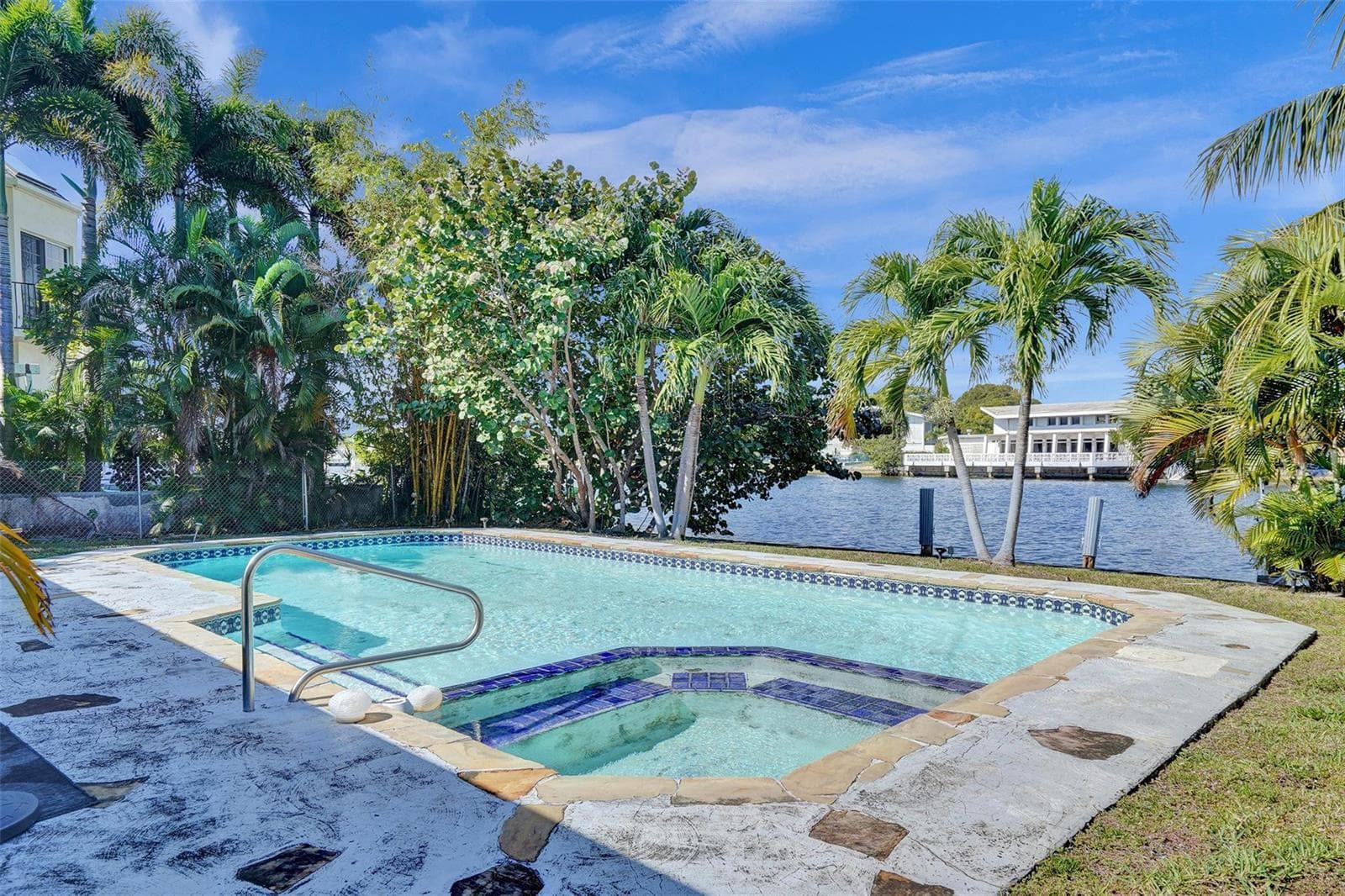
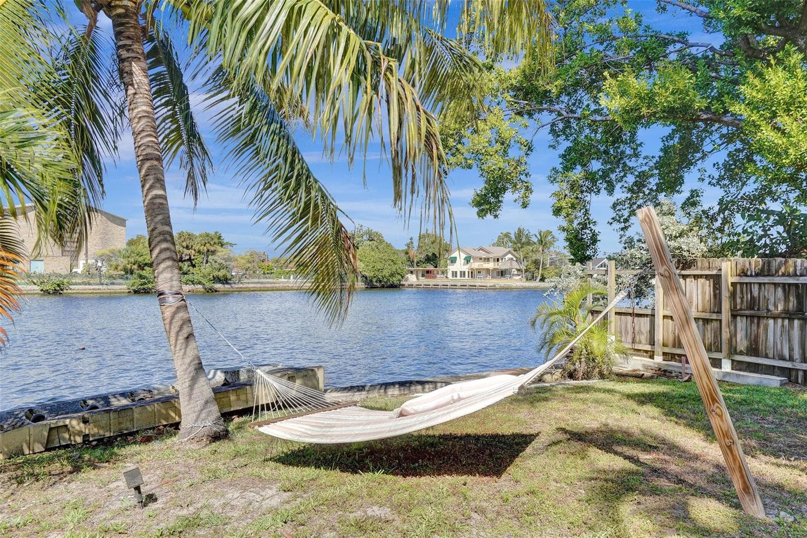
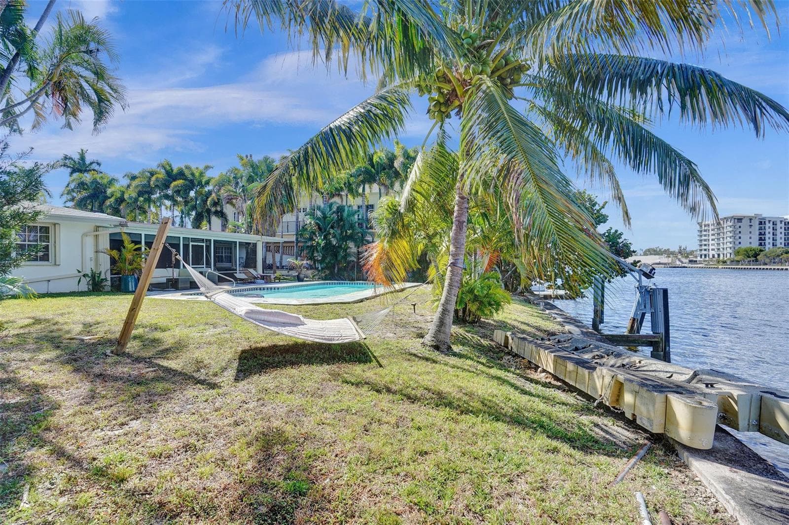
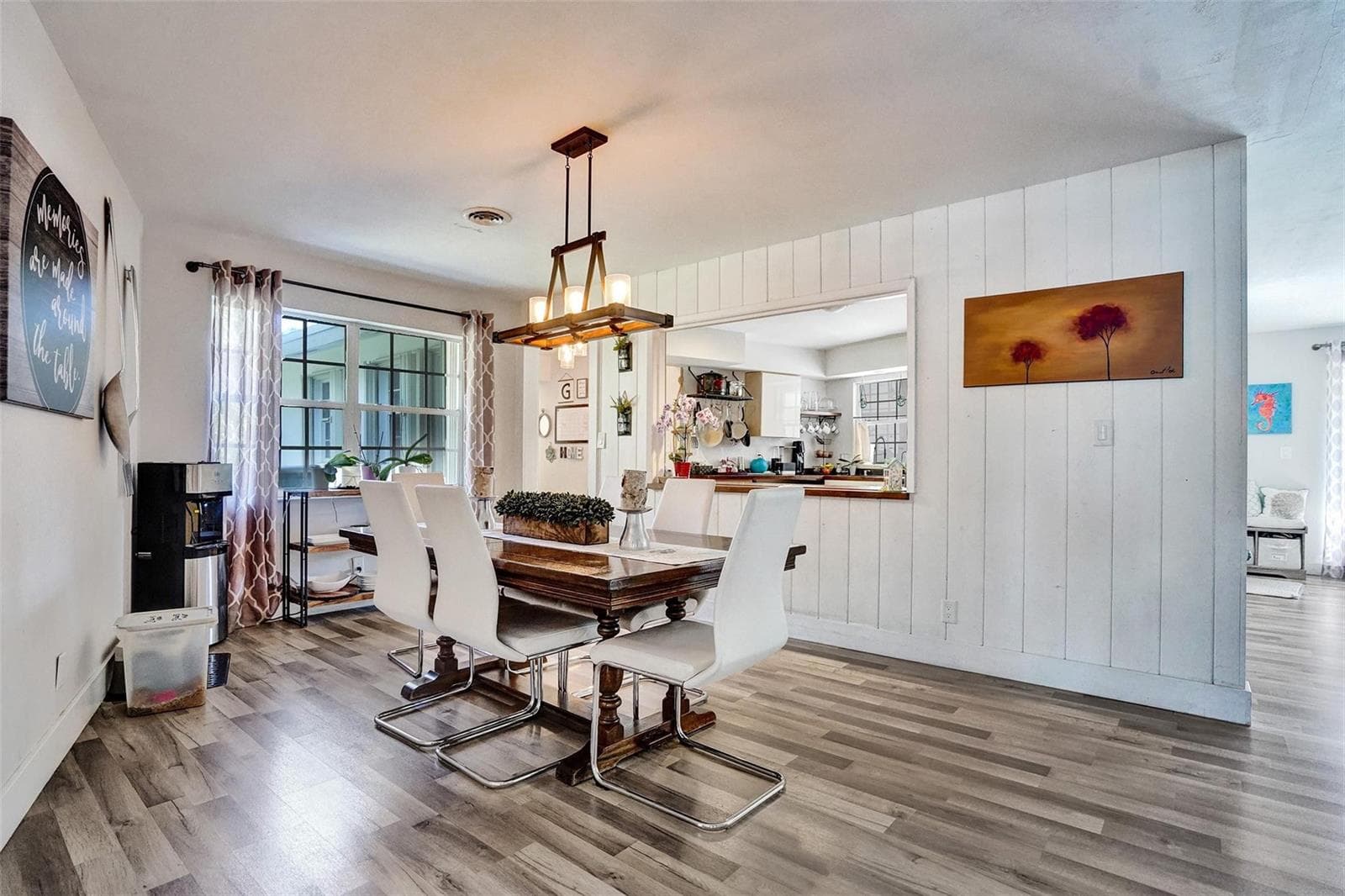
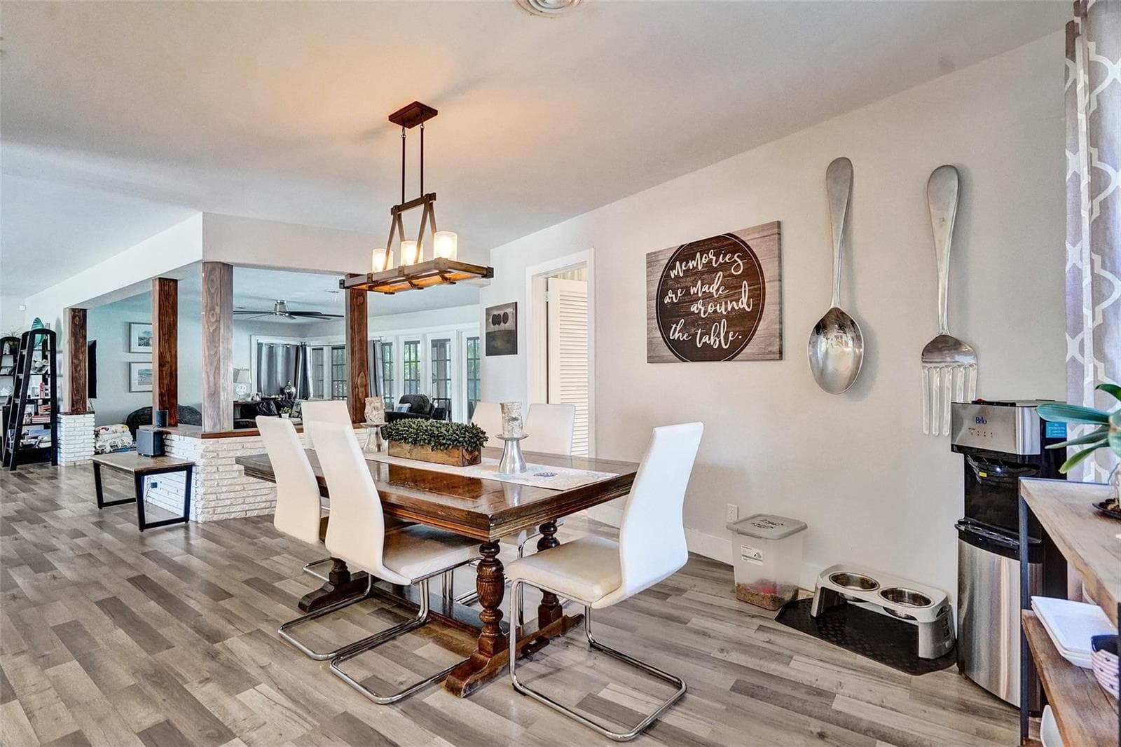
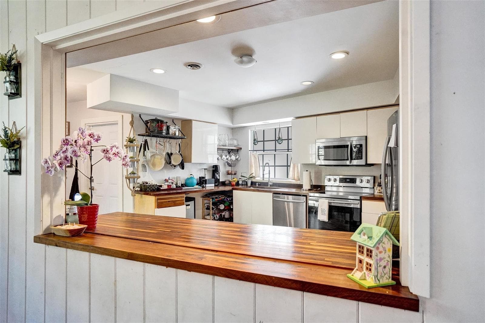
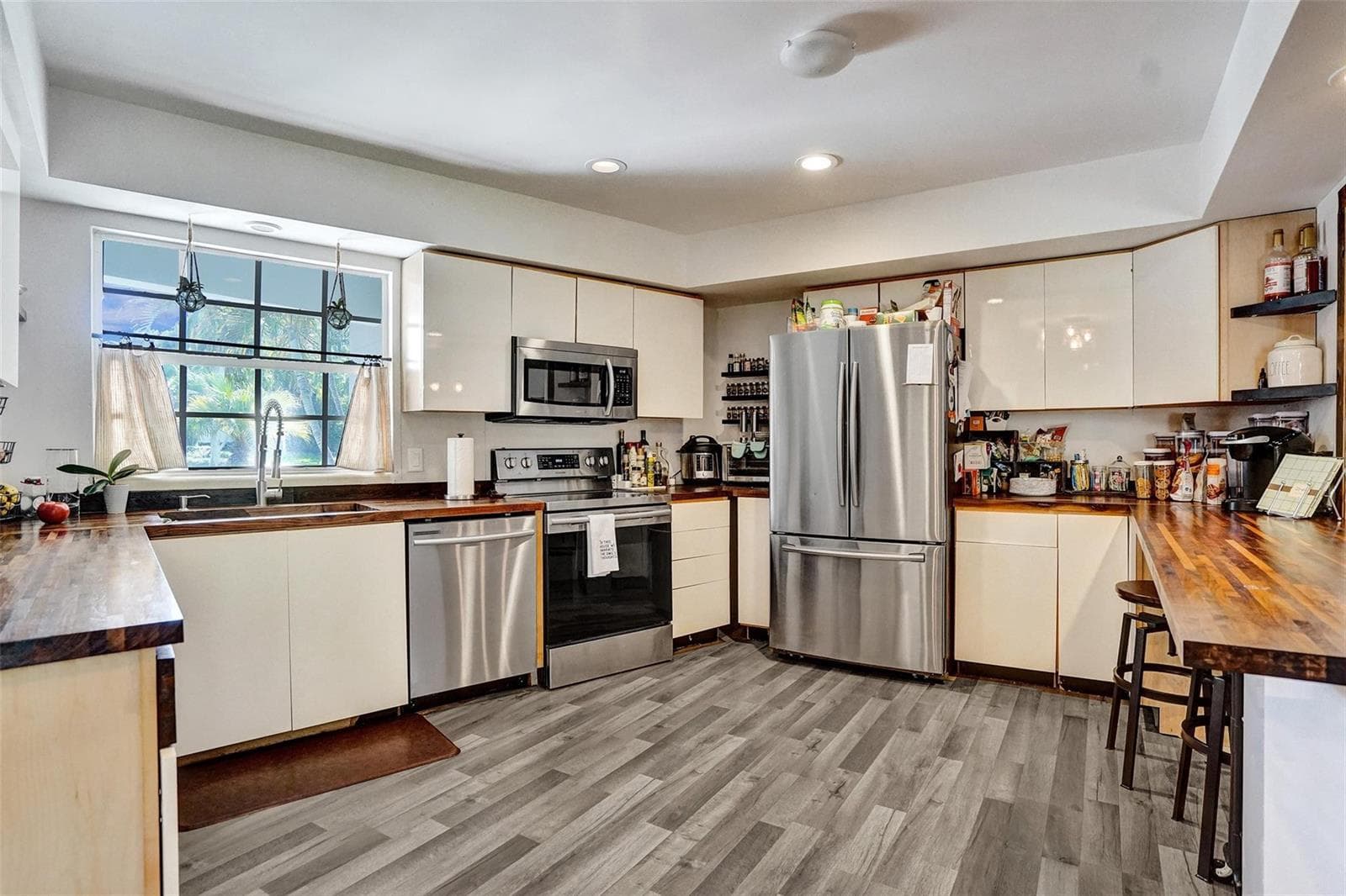
MIDDLE RIVER WATERFRONT. 100' X 145', 14,500 Square Foot Lot on 260' width of Middle River. Ocean access, subject to Sunrise bridge. Build your dream estate or remodel existing home. Bayview School District. AS IS with no repairs. See survey and aerial photos attached. See 360 view in virtual tour. East Sunrise Blvd to Bayview Drive. East on NE 12 St to Middle River Dr. North to the property.
Schedule a Showing
See the property and tour the dock. A licensed waterfront specialist will arrange your private showing.
Select a date
Location
Fort Lauderdale, FL, 33304
Displayed by Blue Mar Real Estate Group Inc., Licensed Florida Real Estate Broker (DBPR CQ1018554) · [email protected]
Listing courtesy of The Keyes Company via MIAMI REALTORS®
Last checked: 1 hour ago
Listing updated: September 16, 2026
© 2026 Miami Association of REALTORS®, Inc. All rights reserved. The data relating to real estate for sale on this website comes in part from the Internet Data Exchange program of the Miami Association of REALTORS®. Information is deemed reliable but not guaranteed. All properties are subject to prior sale, change, or withdrawal.
IDX information is provided exclusively for consumers' personal, non-commercial use. It may not be used for any purpose other than to identify prospective properties consumers may be interested in purchasing.
Dock Score™
DockOnlyWhat shaped this score
DockOnly.com rating, not provided by the MLS or listing broker.
Mortgage Calculator
Estimate your monthly payment for this waterfront property
$590,000 down
Estimated payments only. Actual rates and terms may vary.


