

1538 RIVERSIDE DRIVE
Tarpon Springs, FL, 34689
Active$1,599,000
1538 RIVERSIDE DRIVE
Tarpon Springs, FL, 34689
Active$1,599,000
4
Bedrooms
4
Bathrooms
4,072 sqft
Living Area
1995
Year Built
23,649
Lot Size (sqft)
0
Days on Market
Dock Score™
DockOnlyWhat shaped this score
DockOnly.com rating, not provided by the MLS or listing broker.
Dock & Water AccessMLS
AI Aerial Imagery Detection
Detected by AI from open-source aerial mapping imagery and may not reflect current conditions. This information was not provided by the MLS or listing broker. Always verify dock infrastructure with the listing agent.
Canal WidthDockOnly
At the dock
County parcel dataSingle measurement at the dock · width variation along the canal not yet available
Measured perpendicular from this parcel's waterfront edge to the parcel directly across the canal, using surveyed county GIS boundaries.
Will it turn around?
Up to 29 ft
Easy
handling
29–39 ft
Fits
with care
39–45 ft
Tight
(back-in)
Boats over 45 ft typically back in/out rather than turning here. Clear channel ≈ 59 ft with boats moored both sides (~13 ft per side for dock + beam). Wide-beam yachts need the upper end of each range.
Navigation RouteDockOnly
Data sources: SFWMD AHED waterway polygons · FHWA National Bridge Inventory 2024 · Not provided by the MLS or listing broker.
Description
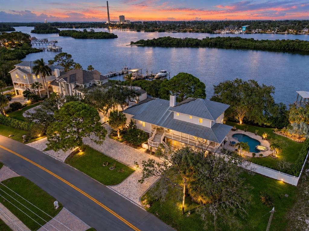
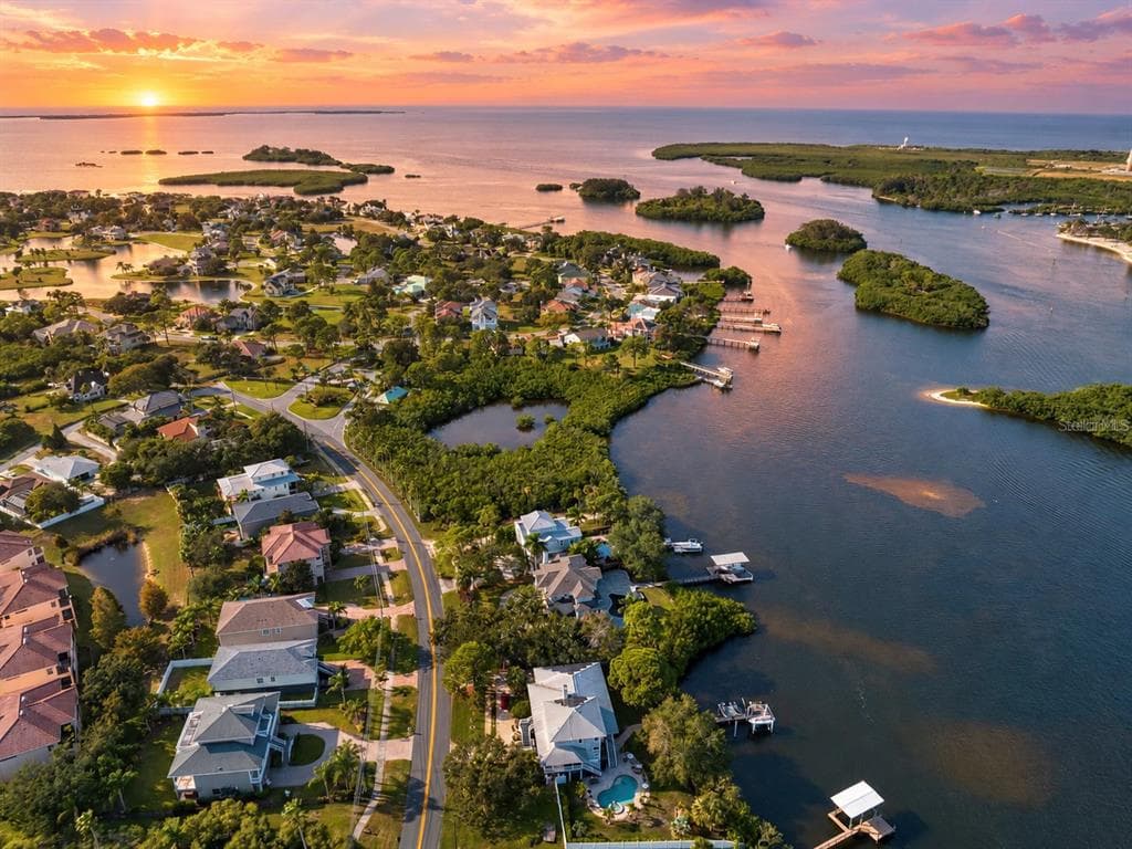
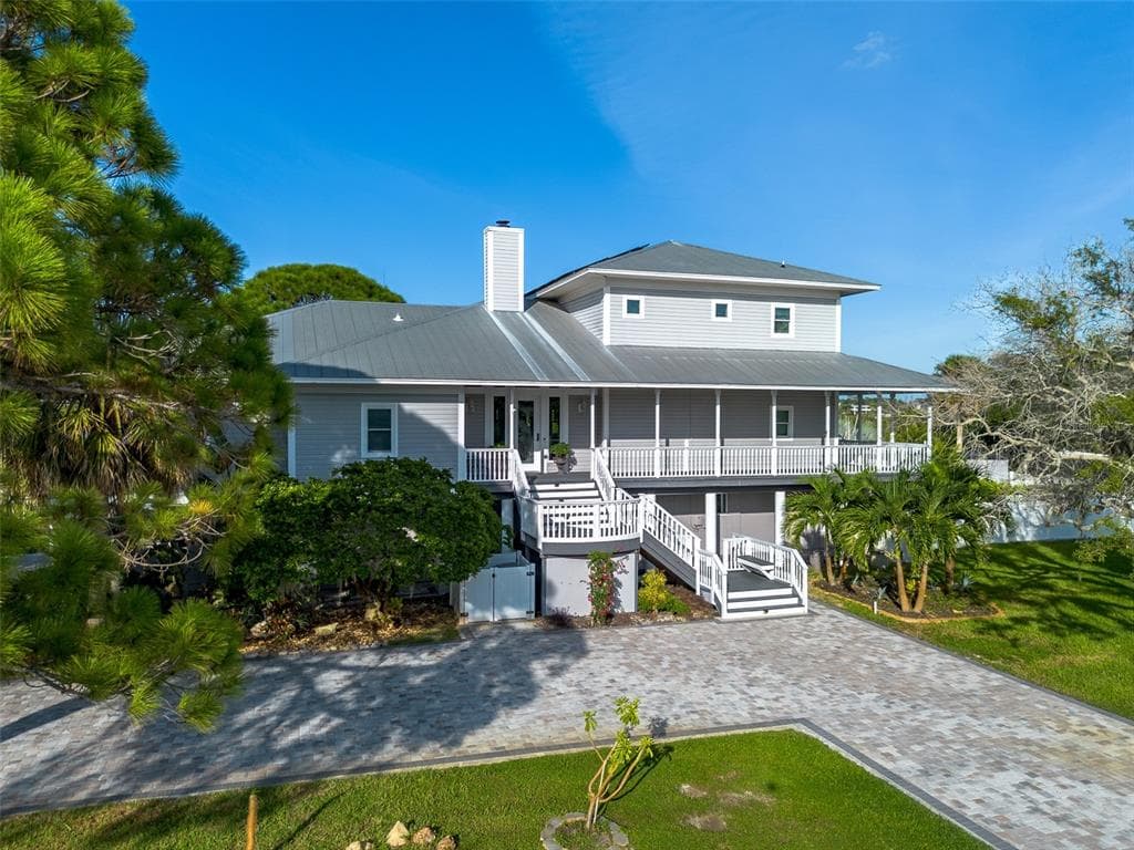
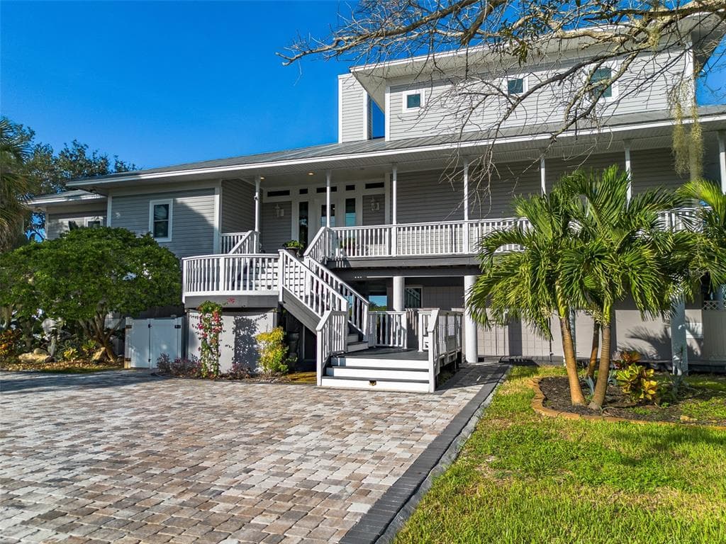
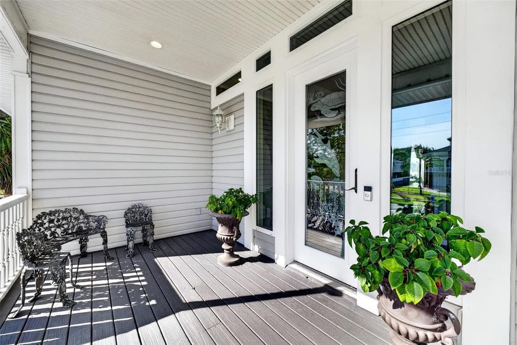
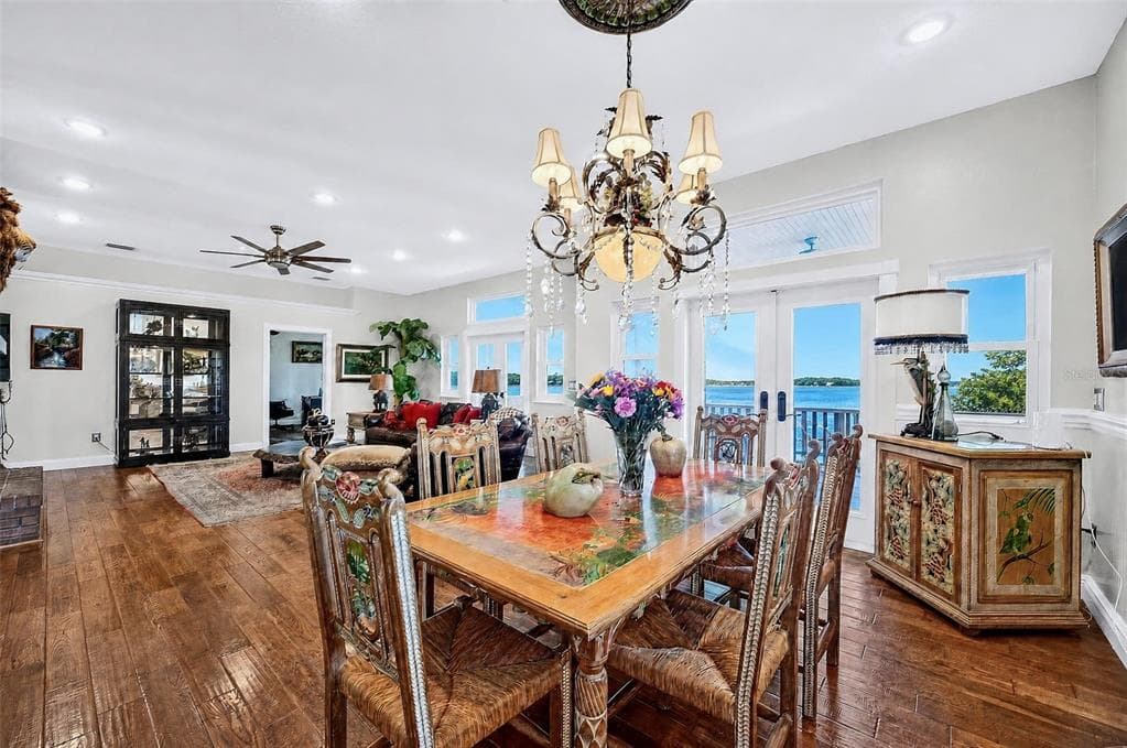
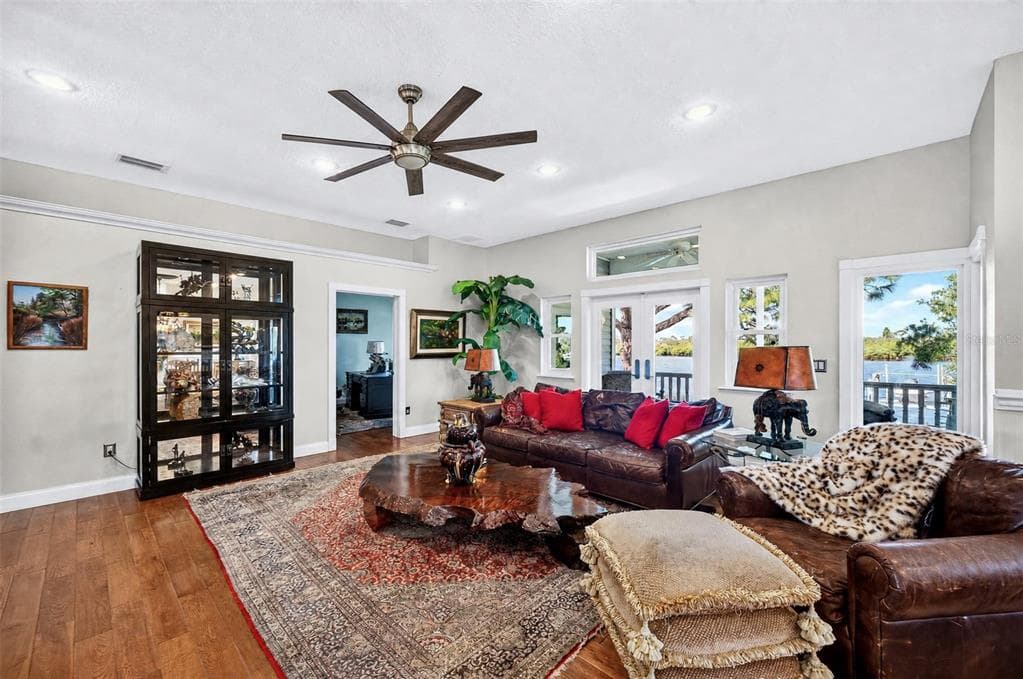
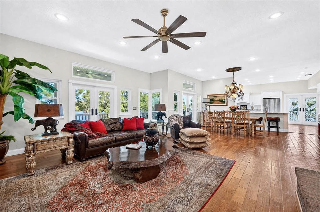
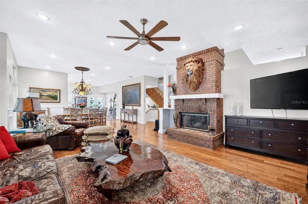
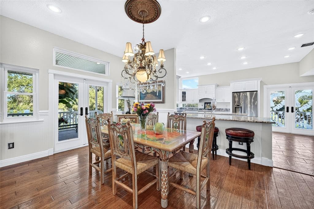
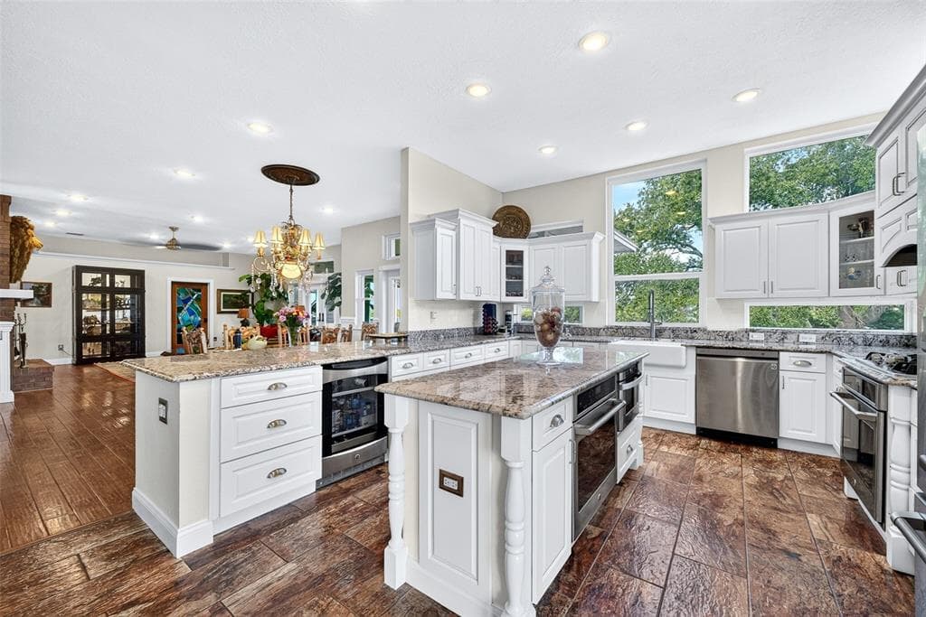
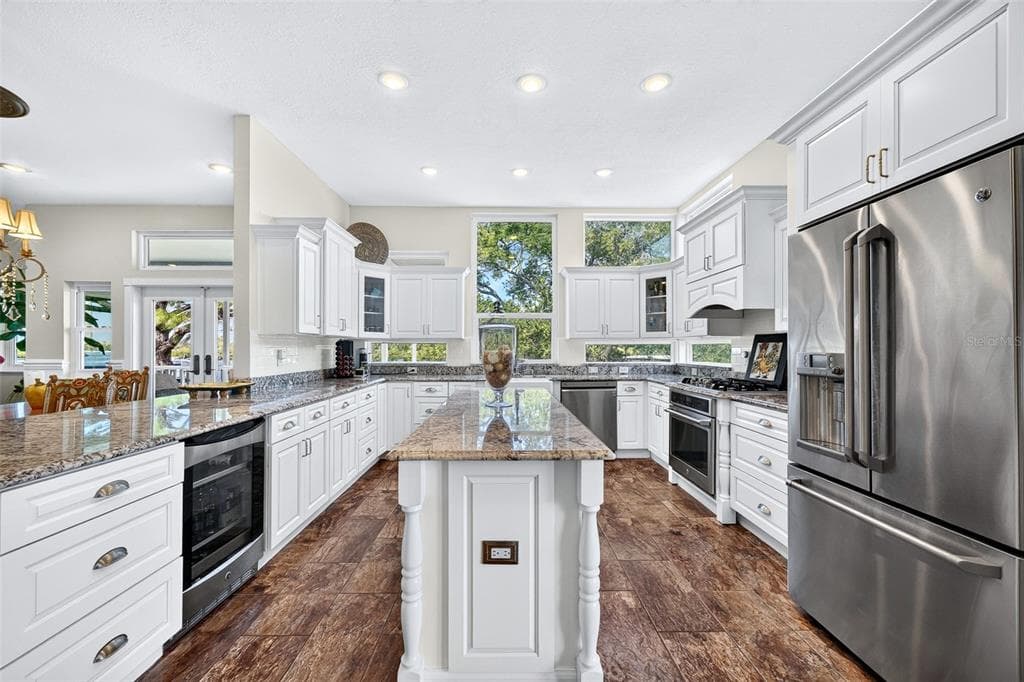
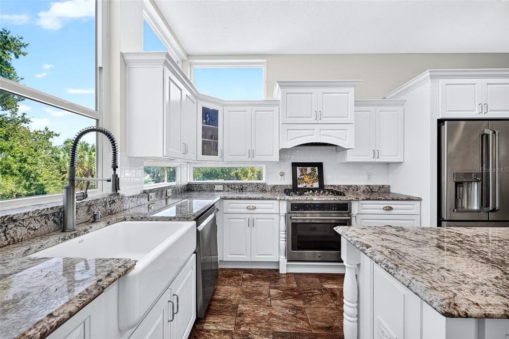
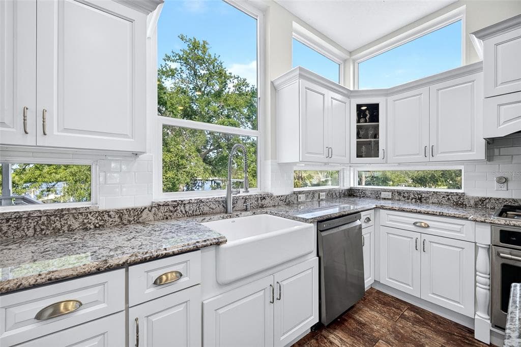
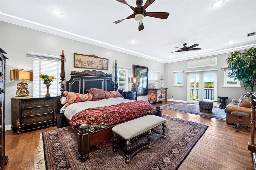
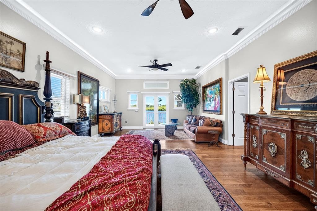
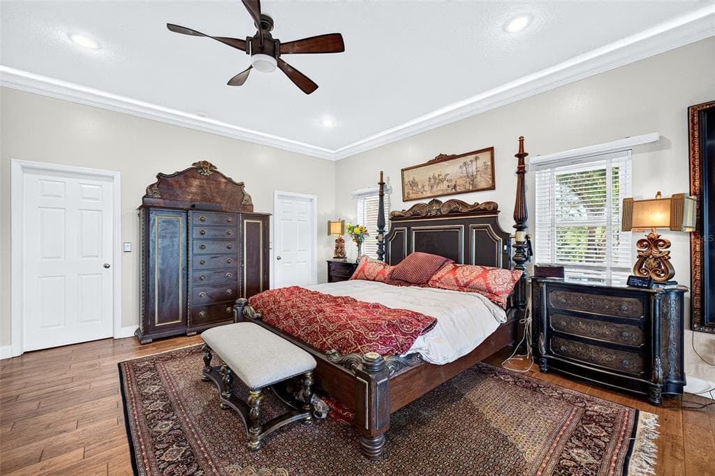
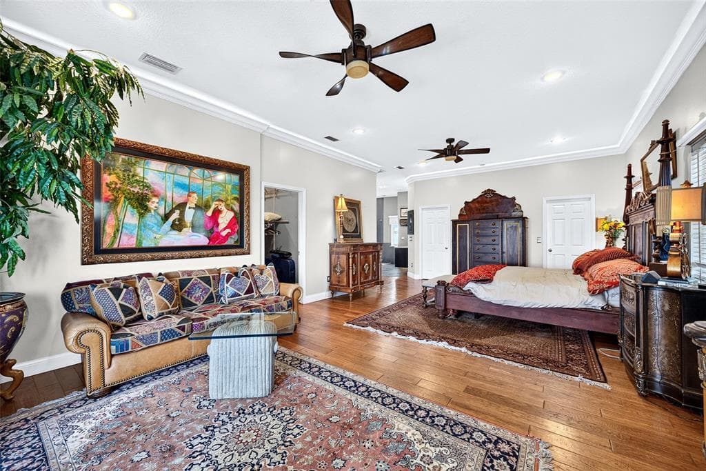
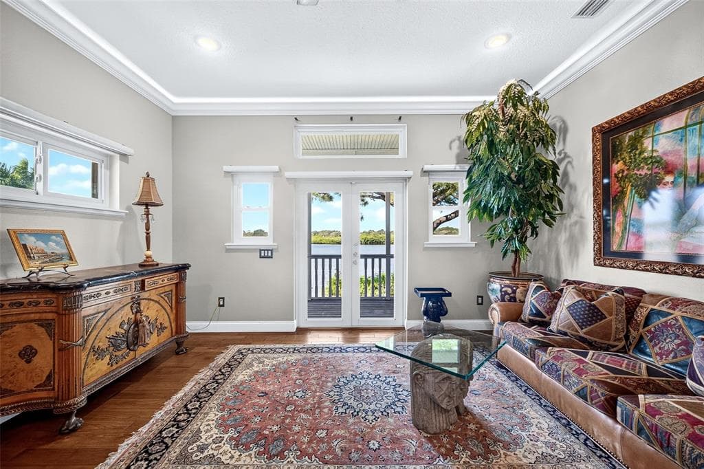
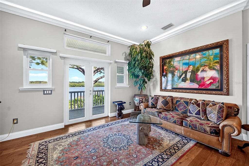
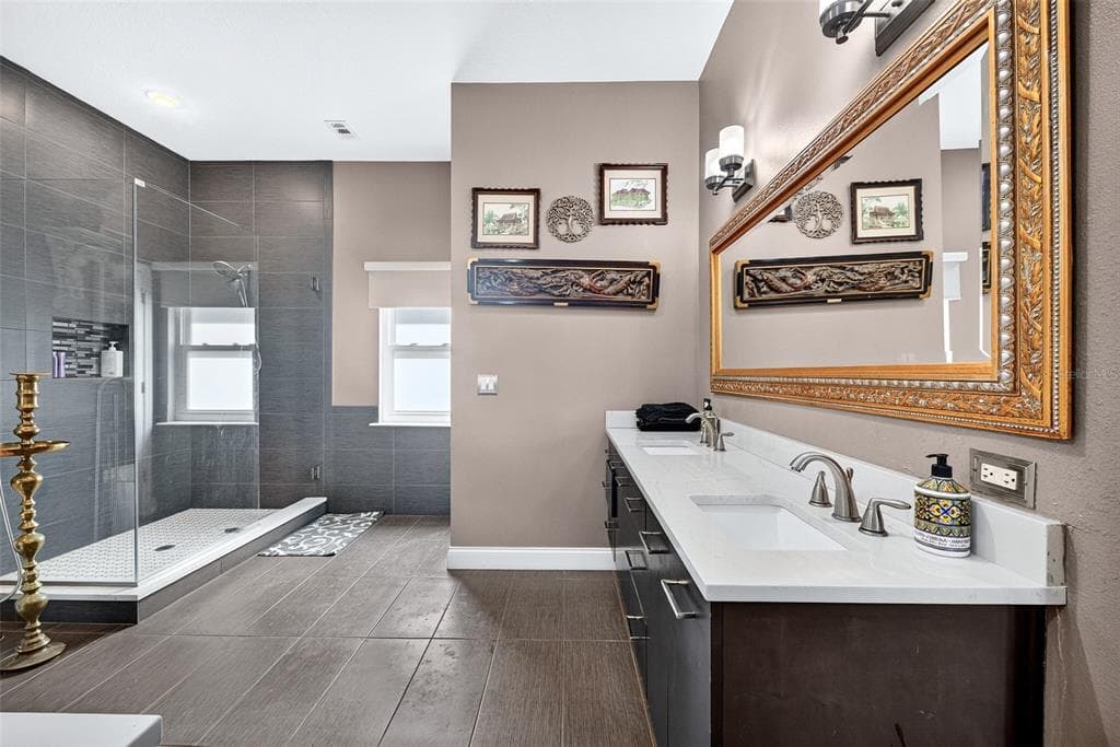
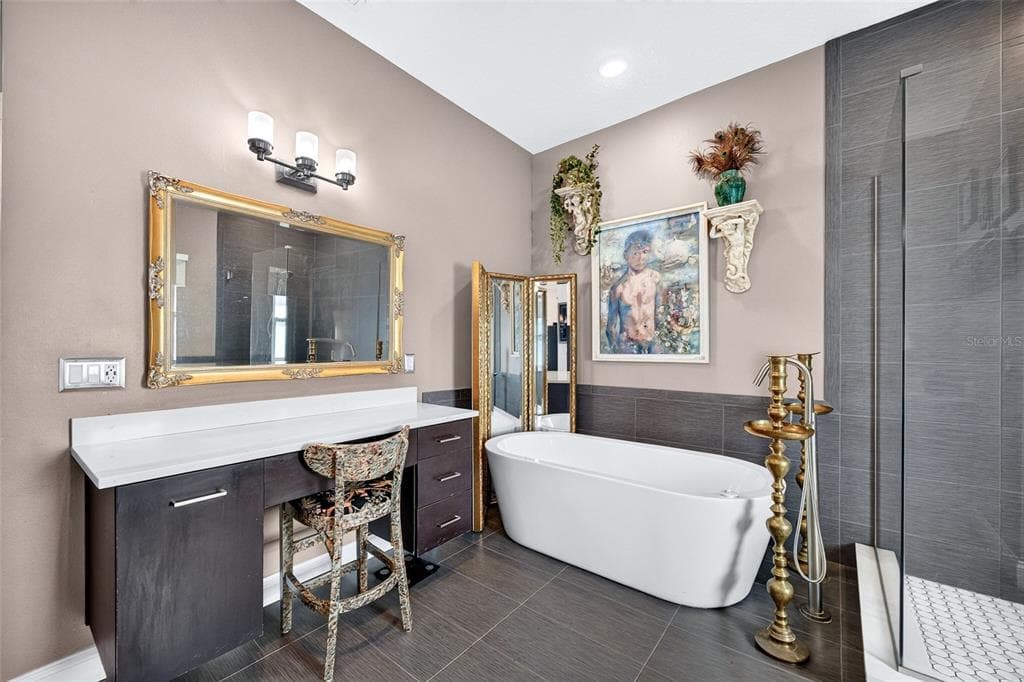
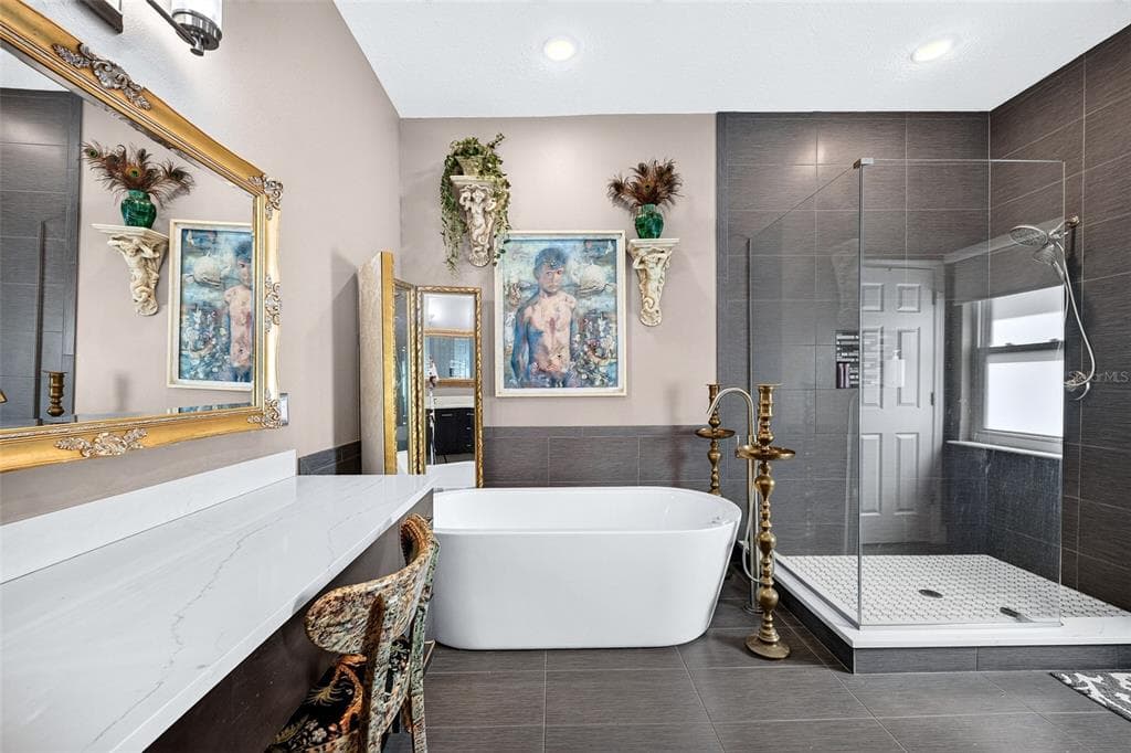
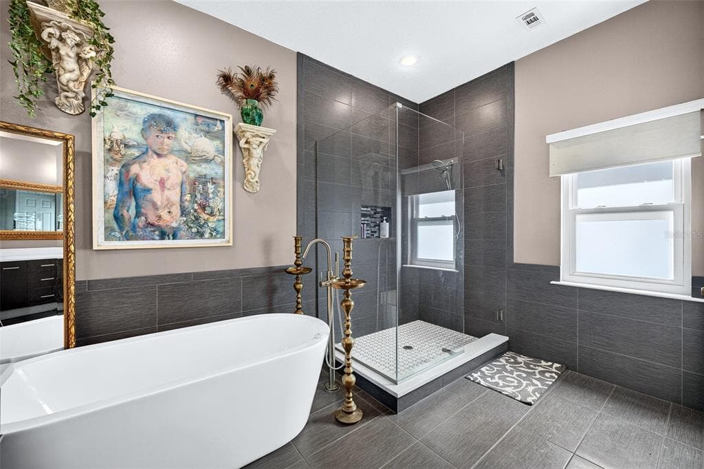
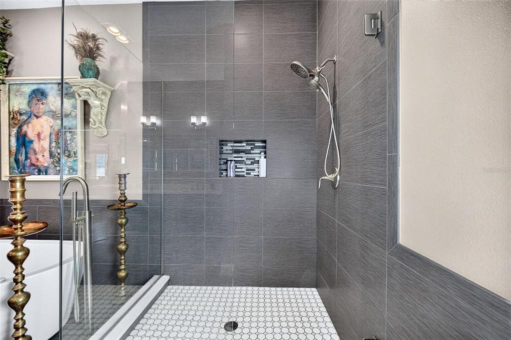
183 FEET ON THE WATER......... DREDGED FOR A BIG BOAT........EXPANSIVE WATER VIEWS FROM EVERY ROOM.... WATERFRONT HOUSE SITS 17 FT ABOVE SEA LEVEL......... RESORT-STYLE SALTWATER POOL.......... OVER HALF AN ACRE........ LOW ELECTRIC BILLS DUE TO SOLAR.......... TRUE LAKE-HOME LIVING ON THE ANCLOTE.......... Some homes have a view of the water. This one has an identity built around it. With the soul of a true lake home, this residence was designed to slow the pace of everyday life — a wraparound porch, river views from nearly every room, and a rhythm set entirely by the water beyond the rail. It rests on an oversized half-acre with 183 feet of frontage on the Anclote River. Ask any boater on this water what that number means, and watch their expression change. Because this is water made for boaters. Recently dredged for a serious vessel, with a private dock, lift, and a clear run to the Gulf — untie the lines and the morning is yours. The dock can be extended for something larger still. Inside, real wood floors carry light through a home that feels alive in every corner. A split floor plan gives the primary suite its own wing, quiet and private. The gourmet kitchen — reimagined in 2018 with stone counters and natural gas — was built for the kind of evenings that end long after dinner. And a lower level offers whatever life asks of it: retreat, gallery, gym, or guest quarters. Beyond the glass, a private resort. A saltwater pool and spa, beautifully resurfaced, set against fresh paver hardscaping and grounds that frame the river like a painting. This is where the summers happen. But here is what no other home on this river can promise. It stands elevated a full 17 feet above the water so floodwaters are never an issue. On the Anclote, that is not a feature. It is the difference between owning the water and worrying about it. Add whole-home impact glass, a metal roof, and owned solar that keeps the electric bills much lower than you normally would pay, and the result is waterfront without a single compromise. Homes like this are not found. They are inherited, held for decades, and released only when the moment is right. This is that moment.
Schedule a Showing
See the property and tour the dock. A licensed waterfront specialist will arrange your private showing.
Select a date
Location
Tarpon Springs, FL, 34689
Displayed by Blue Mar Real Estate Group Inc., Licensed Florida Real Estate Broker (DBPR CQ1018554) · [email protected]
Listing courtesy of KELLER WILLIAMS ON THE WATER S via Stellar MLS
Last checked: 4 hours ago
Listing updated: September 22, 2026
© 2026 Stellar MLS. All rights reserved. The data relating to real estate for sale on this website comes in part from the Internet Data Exchange (IDX) program of Stellar MLS. Information is deemed reliable but not guaranteed and should be independently verified. All properties are subject to prior sale, change, or withdrawal.
IDX information is provided exclusively for consumers' personal, non-commercial use. It may not be used for any purpose other than to identify prospective properties consumers may be interested in purchasing.
Dock Score™
DockOnlyWhat shaped this score
DockOnly.com rating, not provided by the MLS or listing broker.
Mortgage Calculator
Estimate your monthly payment for this waterfront property
$319,800 down
Estimated payments only. Actual rates and terms may vary.


