

Back to Search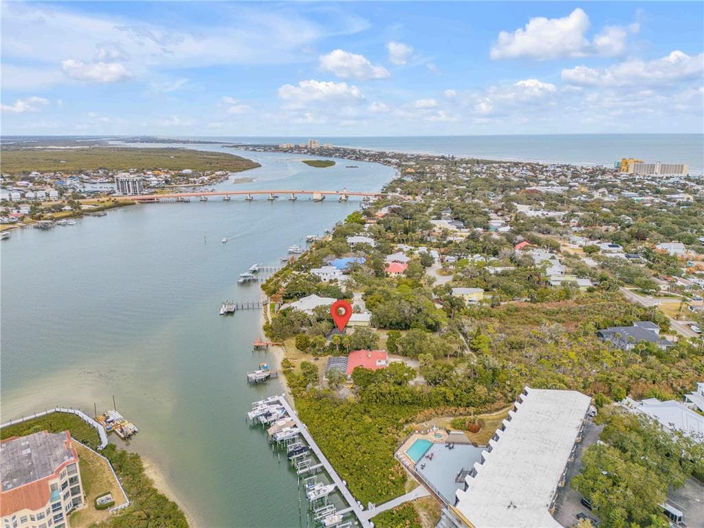
1 / 25
25 photos
+20
508 S INDIAN RIVER ROAD
New Smyrna Beach, FL, 32169
Active$5,990,000
508 S INDIAN RIVER ROAD
New Smyrna Beach, FL, 32169
Active$5,990,000
3
Bedrooms
2
Bathrooms
1,632 sqft
Living Area
1955
Year Built
28,500
Lot Size (sqft)
93
Days on Market
Dock Score™
DockOnly67
GoodWhat shaped this score
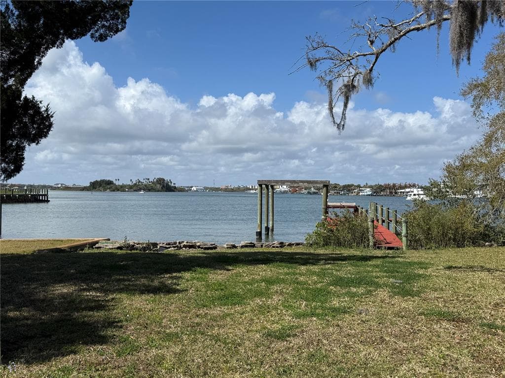
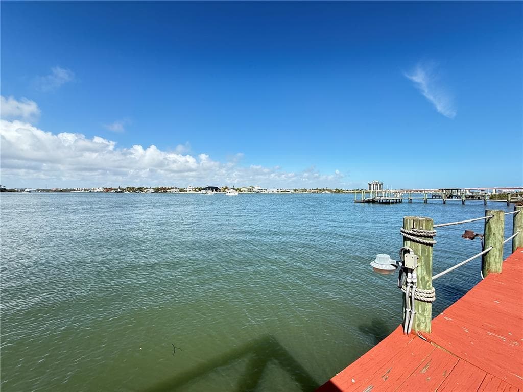
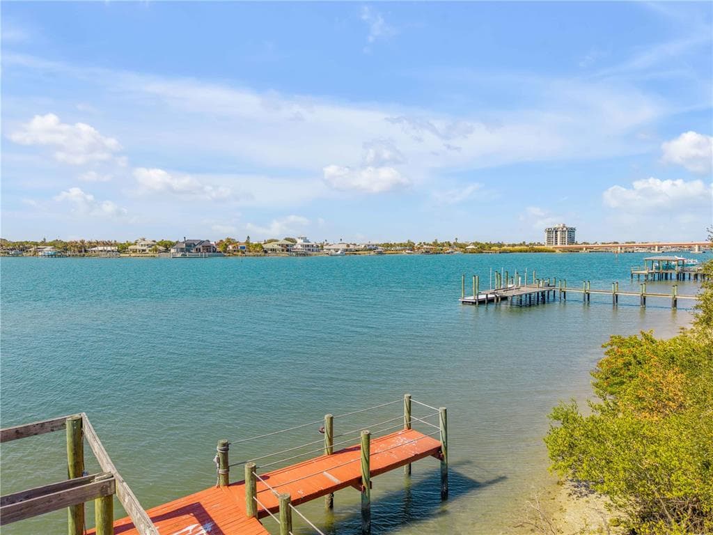
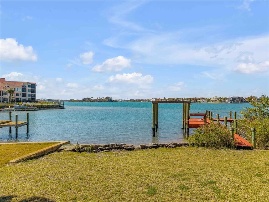
✓Dock with boat lift
✓Intracoastal
✓Bridge-free to bay & ocean
✓Fits boats up to ~85ft (est.)
Est. waterfront~90 ft
DockOnly.com rating, not provided by the MLS or listing broker.
Dock & Water AccessMLS
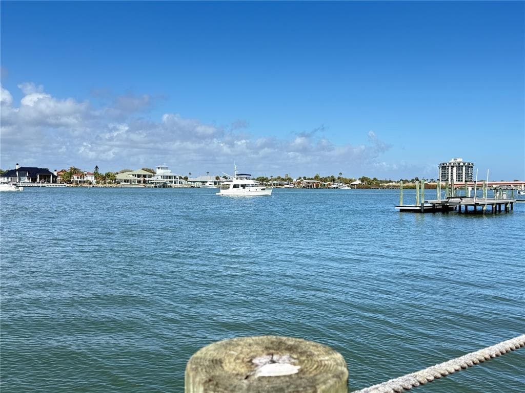
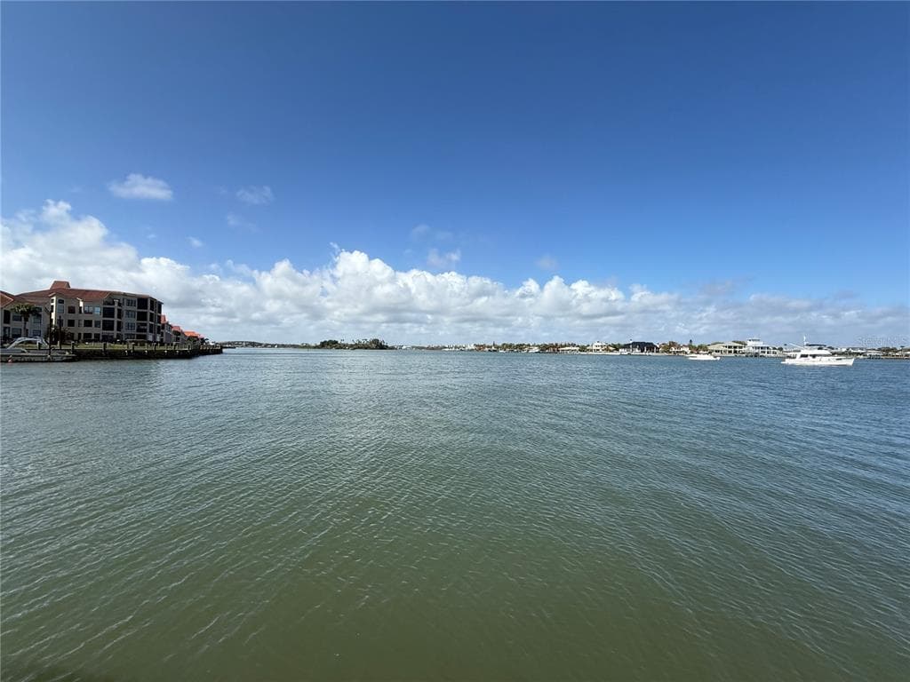
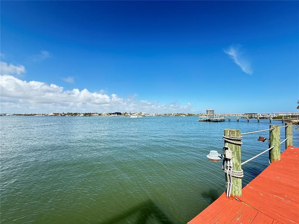
WaterfrontIntracoastal WaterwayRiver Front📝 deep water
AI Aerial Imagery Detection
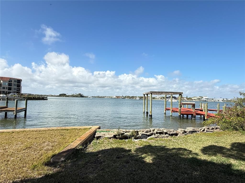
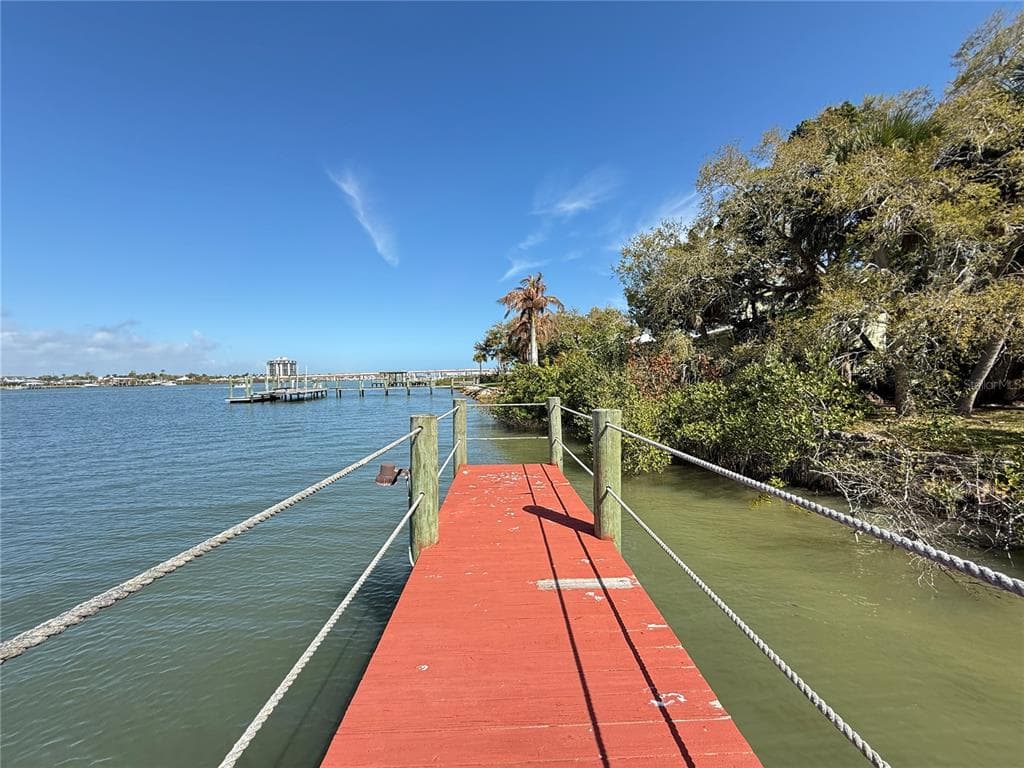
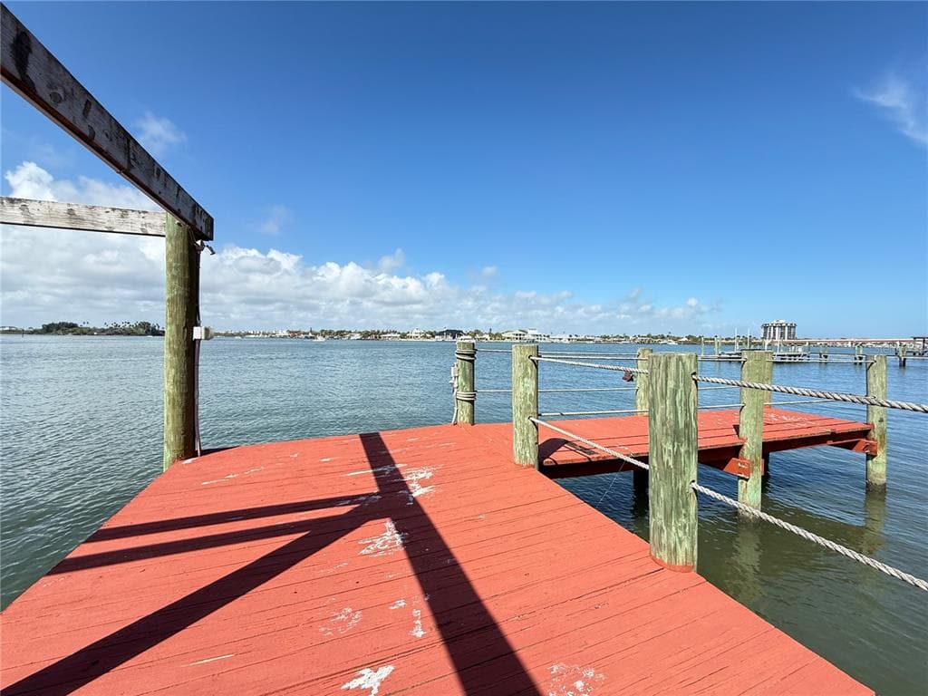
Dock DetectedBoat Lift DetectedSeawall DetectedDeep Water Indicators~53-71 ft dock
Detected by AI from open-source aerial mapping imagery and may not reflect current conditions. This information was not provided by the MLS or listing broker. Always verify dock infrastructure with the listing agent.
Navigation RouteDockOnly
Data sources: SFWMD AHED waterway polygons · FHWA National Bridge Inventory 2024 · Not provided by the MLS or listing broker.
Description
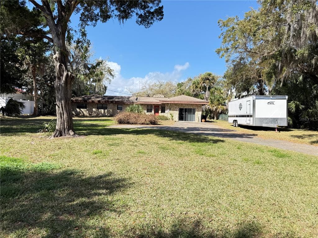
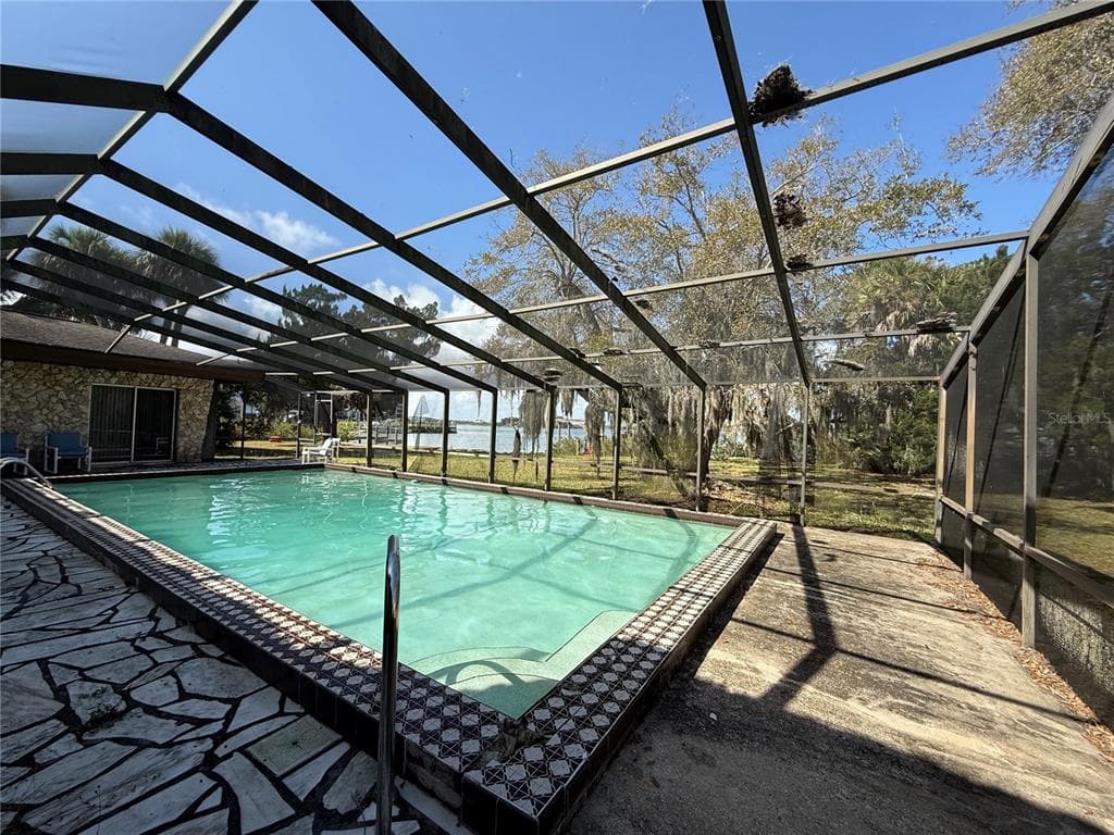
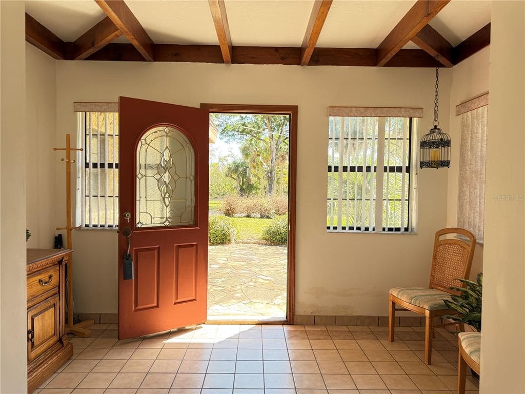
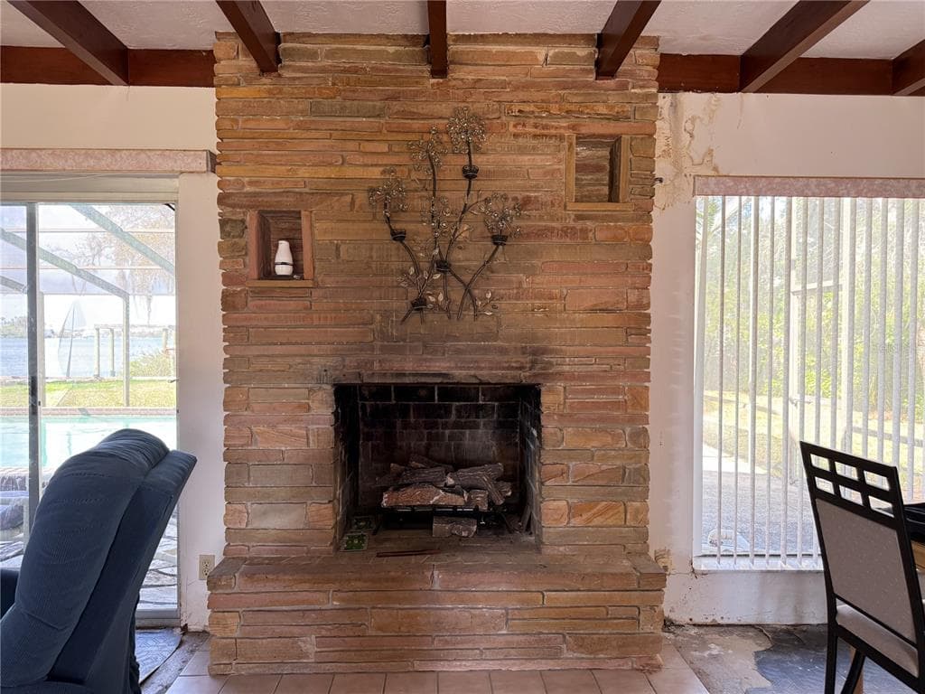
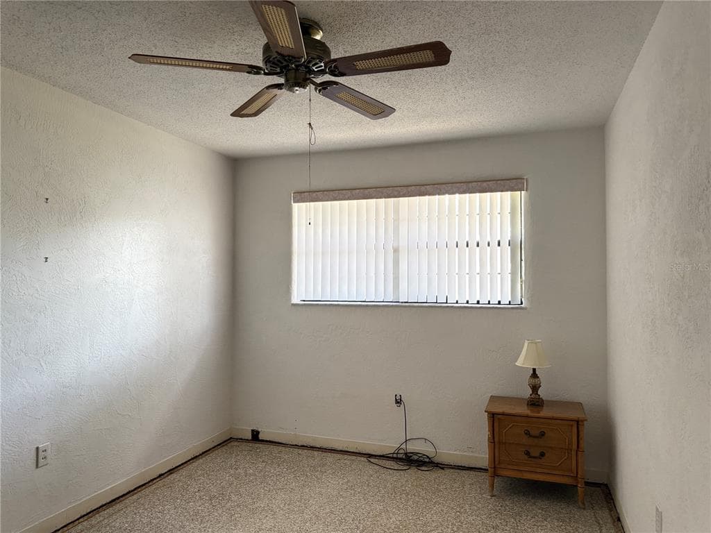
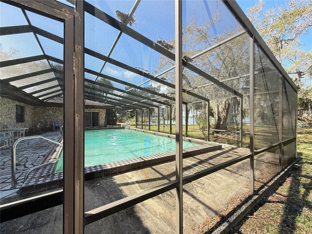
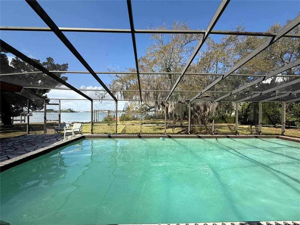
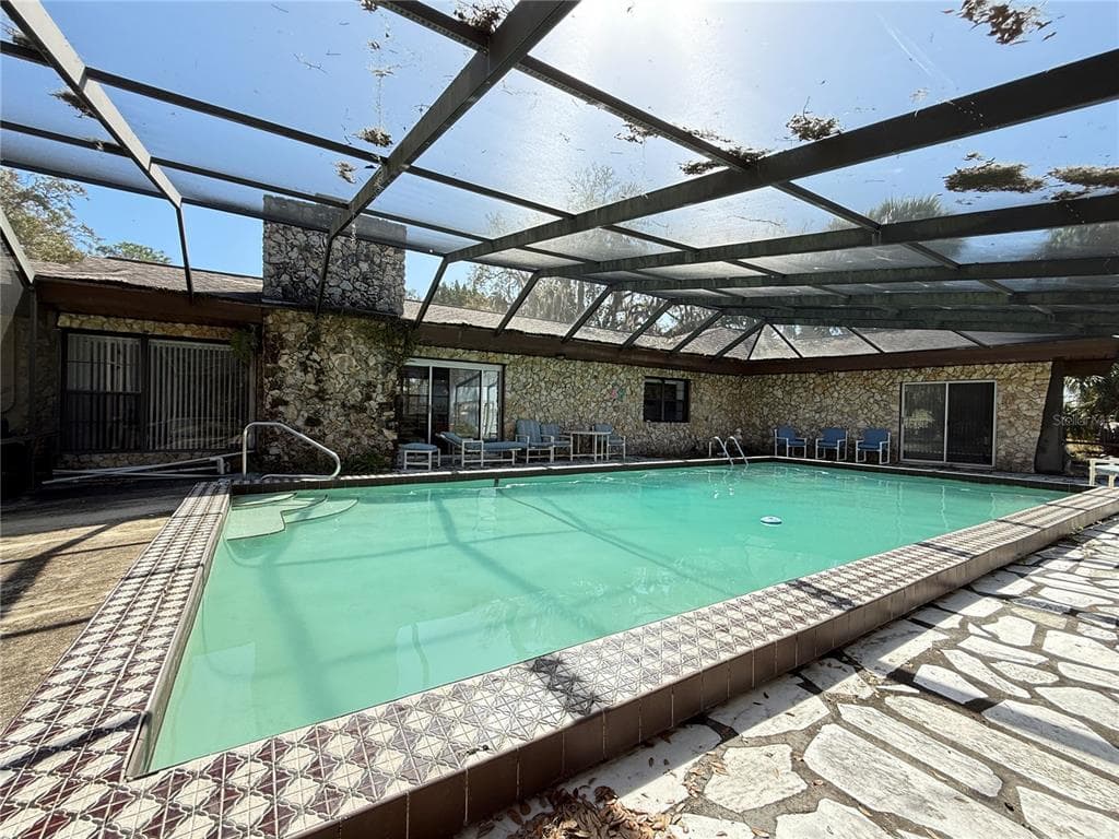
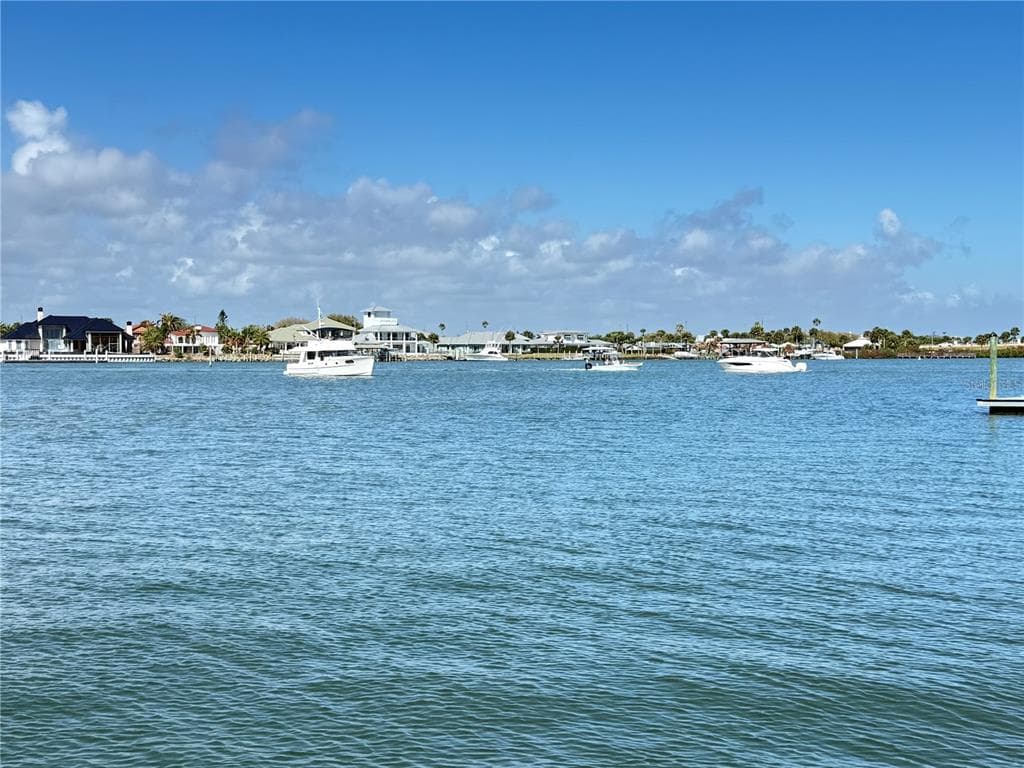
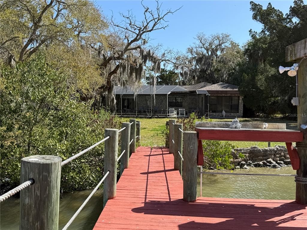
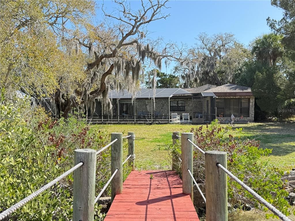
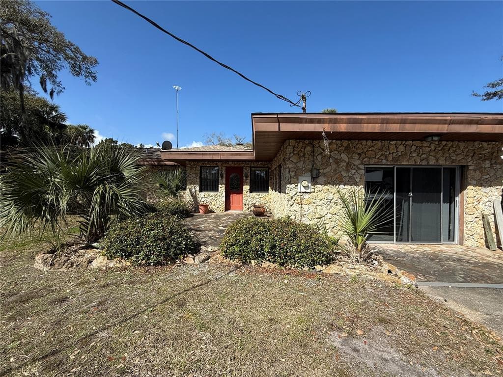
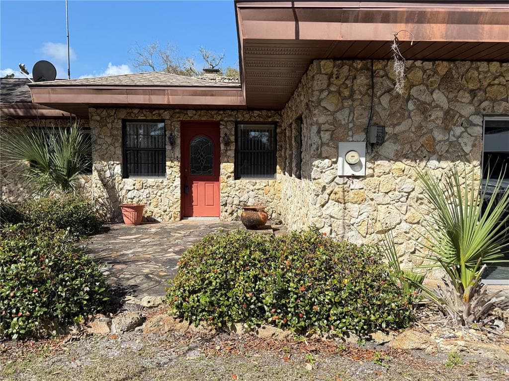
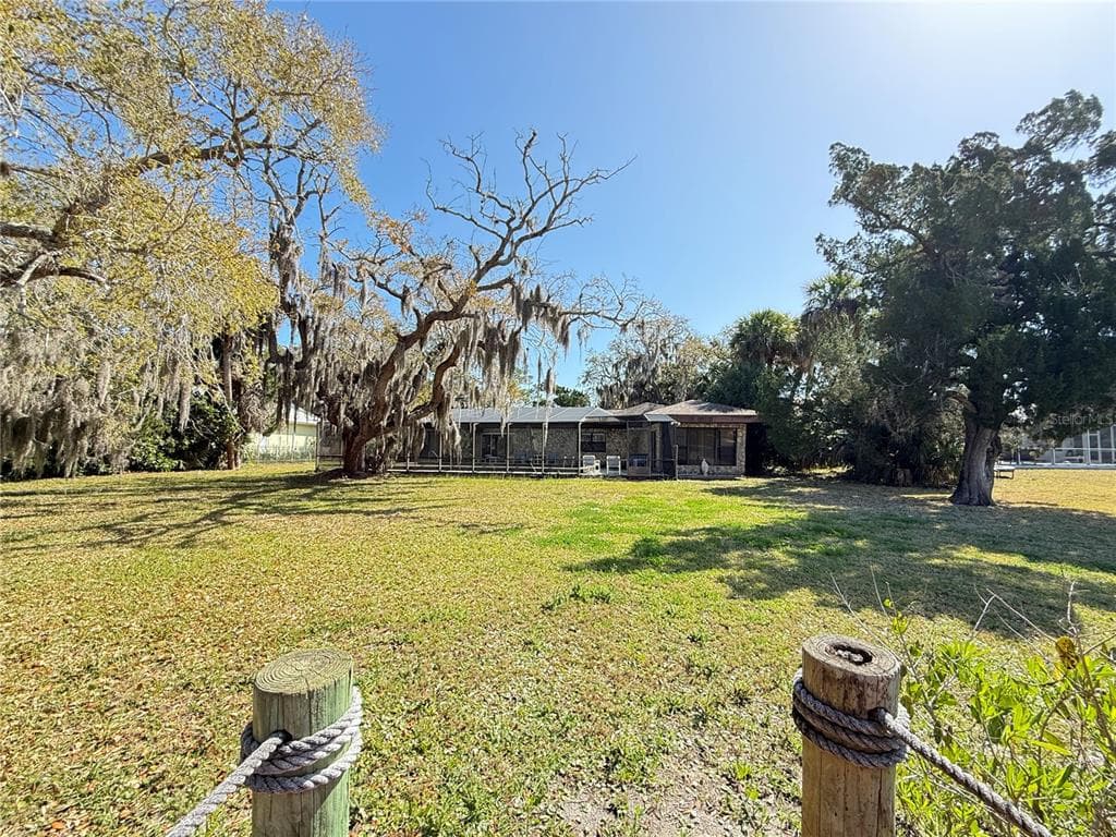
Direct Intracoastal Waterway "Indian River" deep water frontage 3 Bd, 2 Ba, 1 Car Garage home in a prime New Smyrna Beach location. There is a fireplace in the living room with tile and terrazzo flooring throughout. This kitchen has a breakfast bar and the home has ceiling fans. This oversized riverfront parcel totals approximately 0.65 acres with roughly 90 feet of frontage and deep lot depth offering flexibility for future development. A 20x18' dock is included. Current zoning is single-family residential. Walk to historic Flager Ave and Canal Street dining, shopping and entertainment. Minutes to New Smyrna Beach. This property is ideal as a primary residence, or vacation get away.
Schedule a Showing
See the property and tour the dock. A licensed waterfront specialist will arrange your private showing.
Select a date
Location
New Smyrna Beach, FL, 32169
No price history available for this property.
Displayed by Blue Mar Real Estate Group Inc., Licensed Florida Real Estate Broker (DBPR CQ1018554) · [email protected]
Listing courtesy of COLLADO REAL ESTATE via Stellar MLS
Last checked: yesterday
Listing updated: July 8, 2026
© 2026 Stellar MLS. All rights reserved. The data relating to real estate for sale on this website comes in part from the Internet Data Exchange (IDX) program of Stellar MLS. Information is deemed reliable but not guaranteed and should be independently verified. All properties are subject to prior sale, change, or withdrawal.
IDX information is provided exclusively for consumers' personal, non-commercial use. It may not be used for any purpose other than to identify prospective properties consumers may be interested in purchasing.
Dock Score™
DockOnly67
GoodWhat shaped this score
✓Dock with boat lift
✓Intracoastal
✓Bridge-free to bay & ocean
✓Fits boats up to ~85ft (est.)
Est. waterfront~90 ft
DockOnly.com rating, not provided by the MLS or listing broker.
Loading nearby marinas…
Loading nearby sandbars…
Mortgage Calculator
Estimate your monthly payment for this waterfront property
20%
$1,198,000 down
%
Principal & Interest$31,081/mo
Property Tax (est. ~1.2%, varies by county)$5,990/mo
Home Insurance (est.)$250/mo
Total Monthly Payment$37,321
Loan Amount: $4,792,000Rate: 6.75%
Get Pre-QualifiedEstimated payments only. Actual rates and terms may vary.
Similar Listings
 $4,200,000
1215 COMMODORE DRIVE
New Smyrna Beach, FL
4 4 4,213 sqft
Courtesy of COLLADO REAL ESTATE via Stellar MLS
 $4,500,000
1707 BEACON STREET
New Smyrna Beach, FL
5 5 4,907 sqft
Courtesy of COLLADO REAL ESTATE via Stellar MLS
 $4,295,000
2012 SPYGLASS LANE
New Smyrna Beach, FL
5 5 4,168 sqft
Courtesy of COLLADO REAL ESTATE via Stellar MLS
 $5,499,000
1214 COMMODORE DRIVE
New Smyrna Beach, FL
4 4 4,226 sqft
Courtesy of ENGEL & VOLKERS NEW SMYRNA via Stellar MLS
 $5,999,000
1194 N PENINSULA AVENUE
New Smyrna Beach, FL
5 7 5,500 sqft
Courtesy of ALIGN REAL ESTATE LLC via Stellar MLS
 $4,300,000
1413 N ATLANTIC AVENUE
New Smyrna Beach, FL
6 6 3,863 sqft
Courtesy of WATSON REALTY CORP via Stellar MLS
Swipe or use arrows to see more
Navigation note: Navigation routes show the shortest mapped path to open water. A vessel taller than the binding bridge clearance may still reach open water via a longer alternate route that we don't currently map. Verify navigability with a local captain or surveyor before relying on it.