

Back to Search
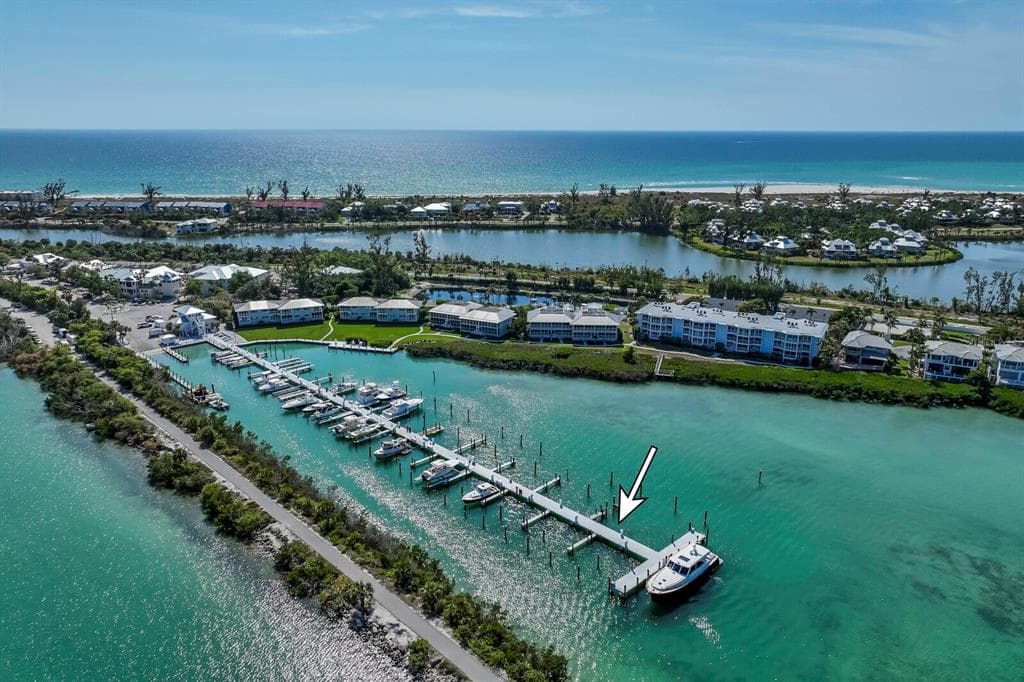
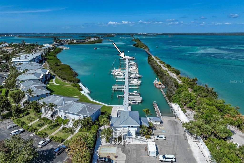
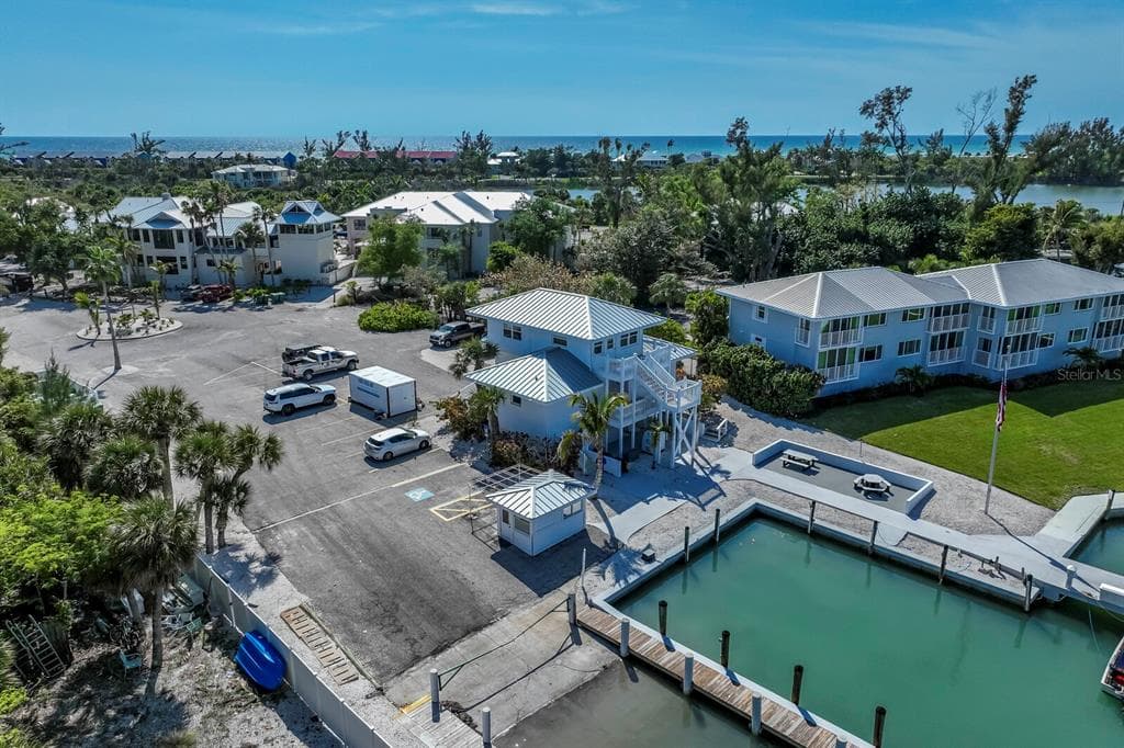
5820 GASPARILLA ROAD Slip 35 photo 1
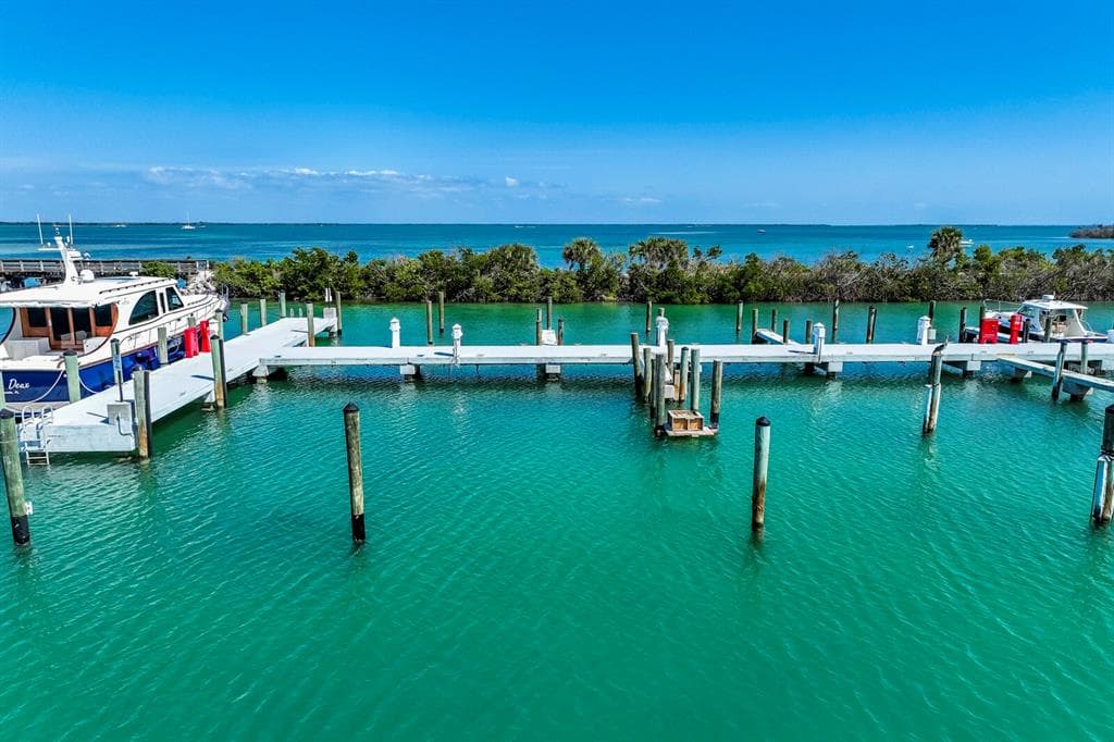
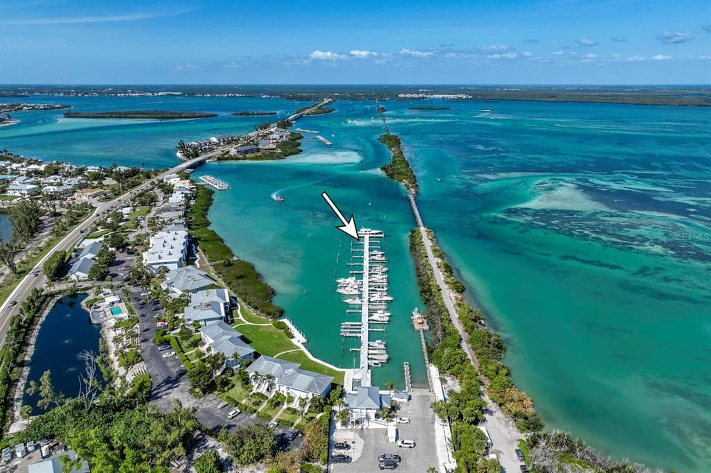
5820 GASPARILLA ROAD Slip 35 photo 2
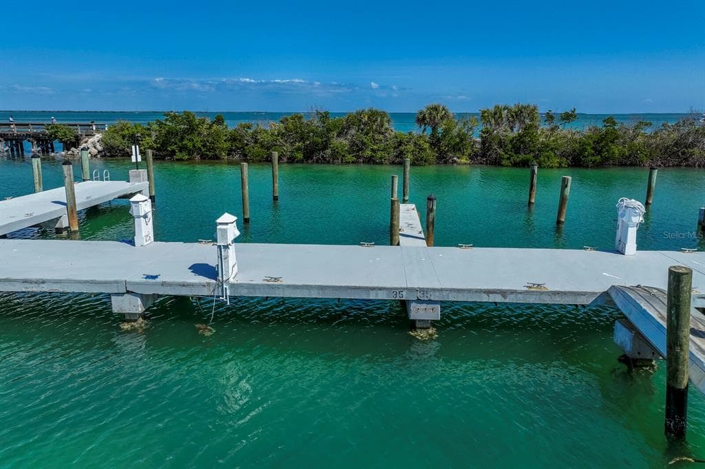
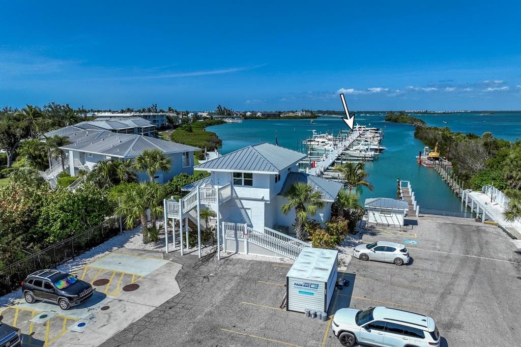
5820 GASPARILLA ROAD Slip 35 photo 3
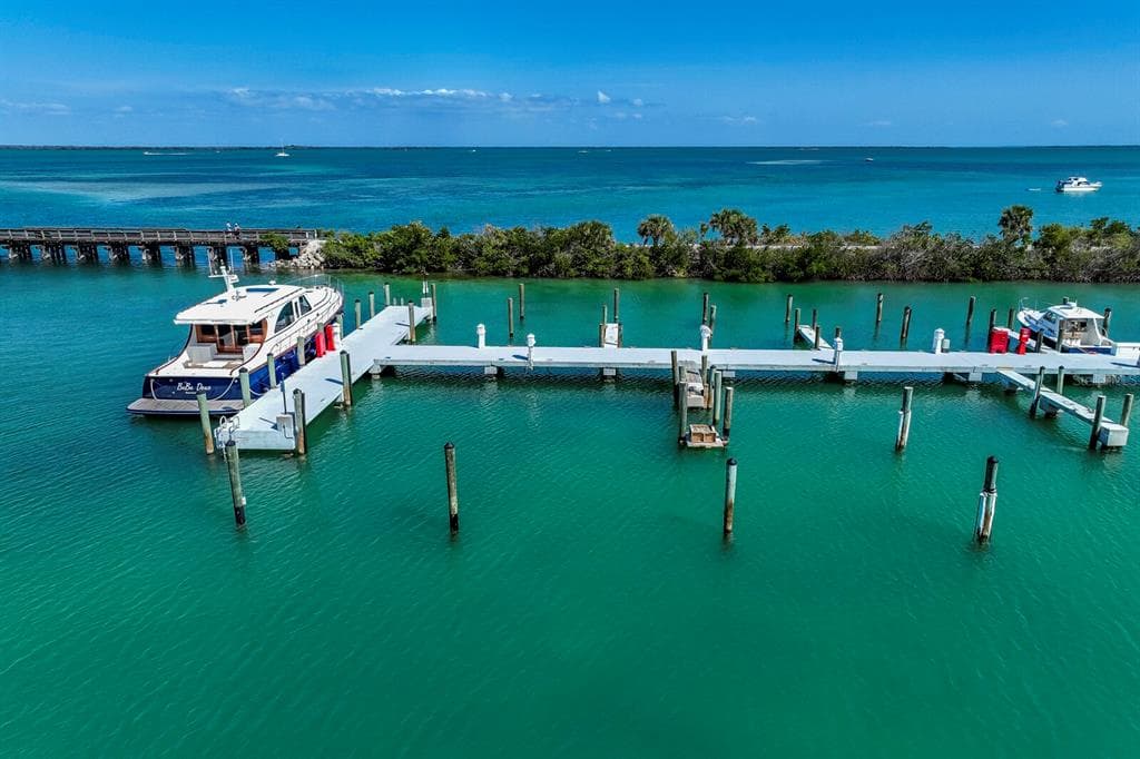
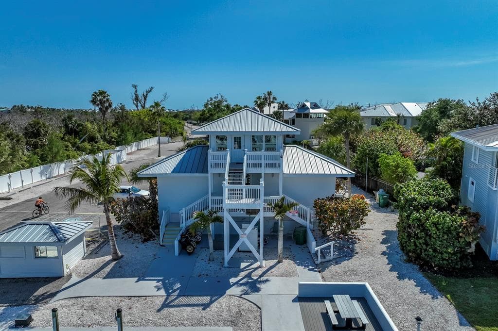
5820 GASPARILLA ROAD Slip 35 photo 4
5820 GASPARILLA ROAD Slip 35 photo 5
5820 GASPARILLA ROAD Slip 35 photo 6
5820 GASPARILLA ROAD Slip 35 photo 7
5820 GASPARILLA ROAD Slip 35 photo 8
5820 GASPARILLA ROAD Slip 35 photo 9
5820 GASPARILLA ROAD Slip 35 photo 10
5820 GASPARILLA ROAD Slip 35 photo 11
5820 GASPARILLA ROAD Slip 35 photo 12
5820 GASPARILLA ROAD Slip 35 photo 13
5820 GASPARILLA ROAD Slip 35 photo 14
1 / 14

5820 GASPARILLA ROAD Slip 35

Boca Grande, FL, 33921

Active

$274,000

Bedrooms

0

Bathrooms

Living Area

1981

Year Built

729

Days on Market

Dock Score™

DockOnly
86
Excellent

What shaped this score

Gulf Access (nav-verified)
Dock with boat lift
Bridge-free to bay & ocean
Fits boats up to ~100ft+ (est.)
·Draft not independently verified
Est. waterfront~119 ft

DockOnly.com rating, not provided by the MLS or listing broker.

Dock & Water AccessMLS

WaterfrontMarina

AI Aerial Imagery Detection

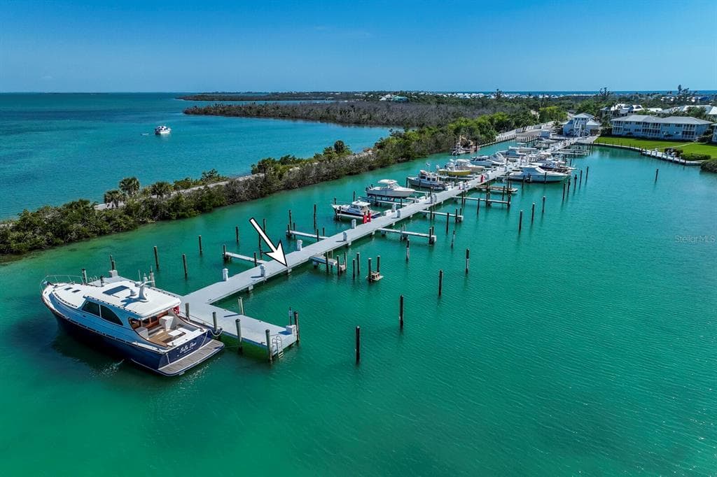
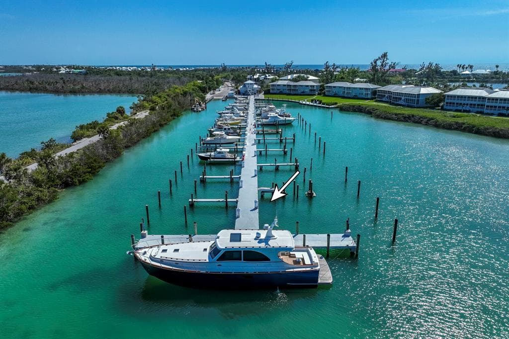
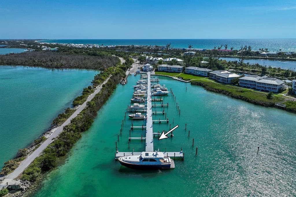
Dock DetectedBoat Lift DetectedSeawall DetectedDeep Water Indicators

Detected by AI from open-source aerial mapping imagery and may not reflect current conditions. This information was not provided by the MLS or listing broker. Always verify dock infrastructure with the listing agent.

Open WaterDockOnly

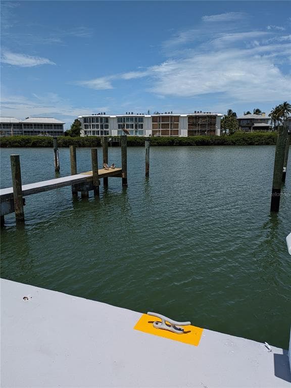
This dock fronts open water — a bay, harbor or marina basin rather than a canal.

There is no across-the-canal bank here, so no canal width applies and boat length is not limited by room to turn around. Check depth, beam and slip dimensions with the listing agent.

Navigation RouteDockOnly

Data sources: SFWMD AHED waterway polygons · FHWA National Bridge Inventory 2024 · Not provided by the MLS or listing broker.

Description

Discover the exceptional opportunity of Slip 35 at the newly renovated Uncle Henry’s Marina—offering generous dimensions (25x65) and the only slip of its size currently available. Located on the north end of Gasparilla Island between Markers 20 and 22 on the Intracoastal Waterway, the marina is just minutes from the Gulf, 1 mile to the ICW, 2.5 miles to the Jetport, and a short ride to downtown Boca Grande. Full-service amenities and fueling stations enhance the boating experience, and owners may install a No Profile “Cradle” boat lift at their expense. Slip 35 provides a secure, well-located option for boaters seeking space, convenience, and access to world-class fishing and recreation. Ownership is via subleasehold estate.

Schedule a Showing

See the property and tour the dock. A licensed waterfront specialist will arrange your private showing.

Select a date

Location

Boca Grande, FL, 33921

No price history available for this property.

Displayed by Blue Mar Real Estate Group Inc., Licensed Florida Real Estate Broker (DBPR CQ1018554) · [email protected]

Listing courtesy of GULF TO BAY SOTHEBY'S INTERNAT via Stellar MLS

Last checked: July 11, 2026

Listing updated: March 17, 2026

© 2026 Stellar MLS. All rights reserved. The data relating to real estate for sale on this website comes in part from the Internet Data Exchange (IDX) program of Stellar MLS. Information is deemed reliable but not guaranteed and should be independently verified. All properties are subject to prior sale, change, or withdrawal.

IDX information is provided exclusively for consumers' personal, non-commercial use. It may not be used for any purpose other than to identify prospective properties consumers may be interested in purchasing.

FEMA Flood Zone AE
BFE: 8ft

Special Flood Hazard Area

View FEMA Flood Map →
Loading nearby marinas…
Loading nearby sandbars…

Mortgage Calculator

Estimate your monthly payment for this waterfront property

20%

$54,800 down

%
Principal & Interest$1,422/mo
Property Tax (est. ~1.2%, varies by county)$274/mo
Home Insurance (est.)$250/mo
Total Monthly Payment$1,946
Loan Amount: $219,200Rate: 6.75%
Get Pre-Qualified

Estimated payments only. Actual rates and terms may vary.

$274,000Tour the dockSchedule a Showing
Navigation note: Navigation routes show the shortest mapped path to open water. A vessel taller than the binding bridge clearance may still reach open water via a longer alternate route that we don't currently map. Verify navigability with a local captain or surveyor before relying on it.