

630 Solano Prado
Coral Gables, FL, 33156
Active$10,999,000
630 Solano Prado
Coral Gables, FL, 33156
Active$10,999,000
4
Bedrooms
3
Bathrooms
2,668 sqft
Living Area
1966
Year Built
27,495
Lot Size (sqft)
3
Days on Market
Dock Score™
DockOnlyWhat shaped this score
DockOnly.com rating, not provided by the MLS or listing broker.
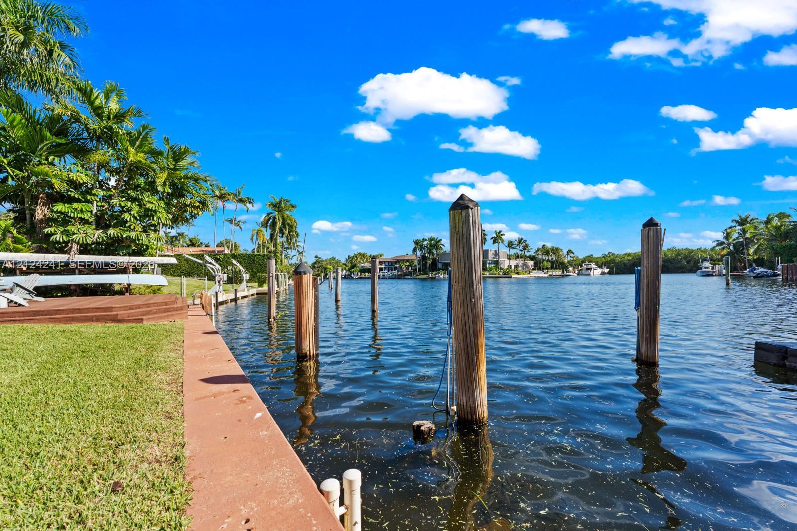
Dock & Water AccessMLS
AI Aerial Imagery Detection
Detected by AI from open-source aerial mapping imagery and may not reflect current conditions. This information was not provided by the MLS or listing broker. Always verify dock infrastructure with the listing agent.
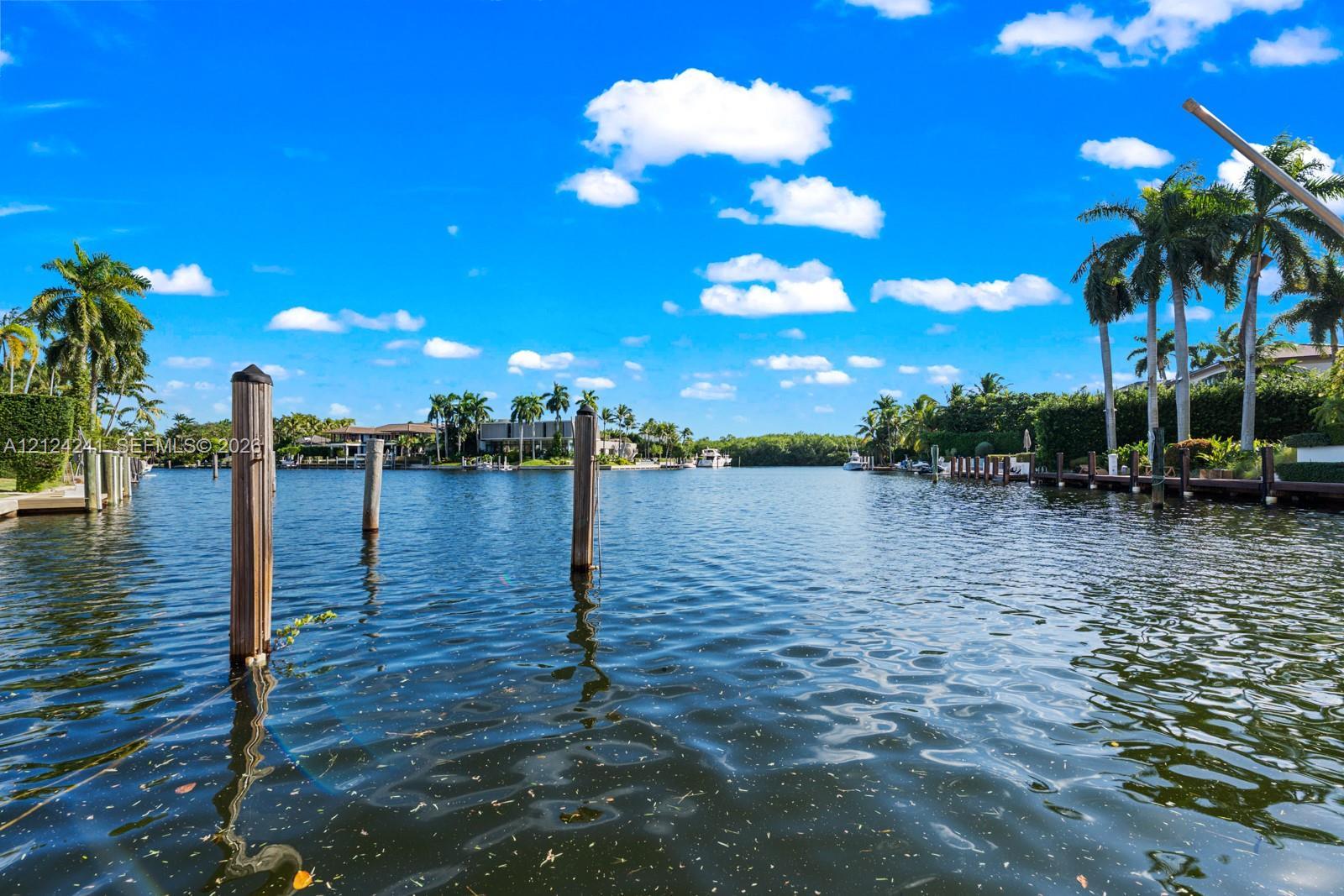
Canal WidthDockOnly
At the dock
County parcel dataSingle measurement at the dock · width variation along the canal not yet available
Measured perpendicular from this parcel's waterfront edge to the parcel directly across the canal, using surveyed county GIS boundaries. Multiple waterfront edges detected (corner lot or dual frontage); reported value is the widest; verify with the listing agent.
Will it turn around?
Up to 95 ft
Easy
handling
95–127 ft
Fits
with care
127–147 ft
Tight
(back-in)
Boats over 147 ft typically back in/out rather than turning here. Clear channel ≈ 191 ft with boats moored both sides (~13 ft per side for dock + beam). Wide-beam yachts need the upper end of each range.
Navigation RouteDockOnly
Data sources: SFWMD AHED waterway polygons · FHWA National Bridge Inventory 2024 · Not provided by the MLS or listing broker.
Description
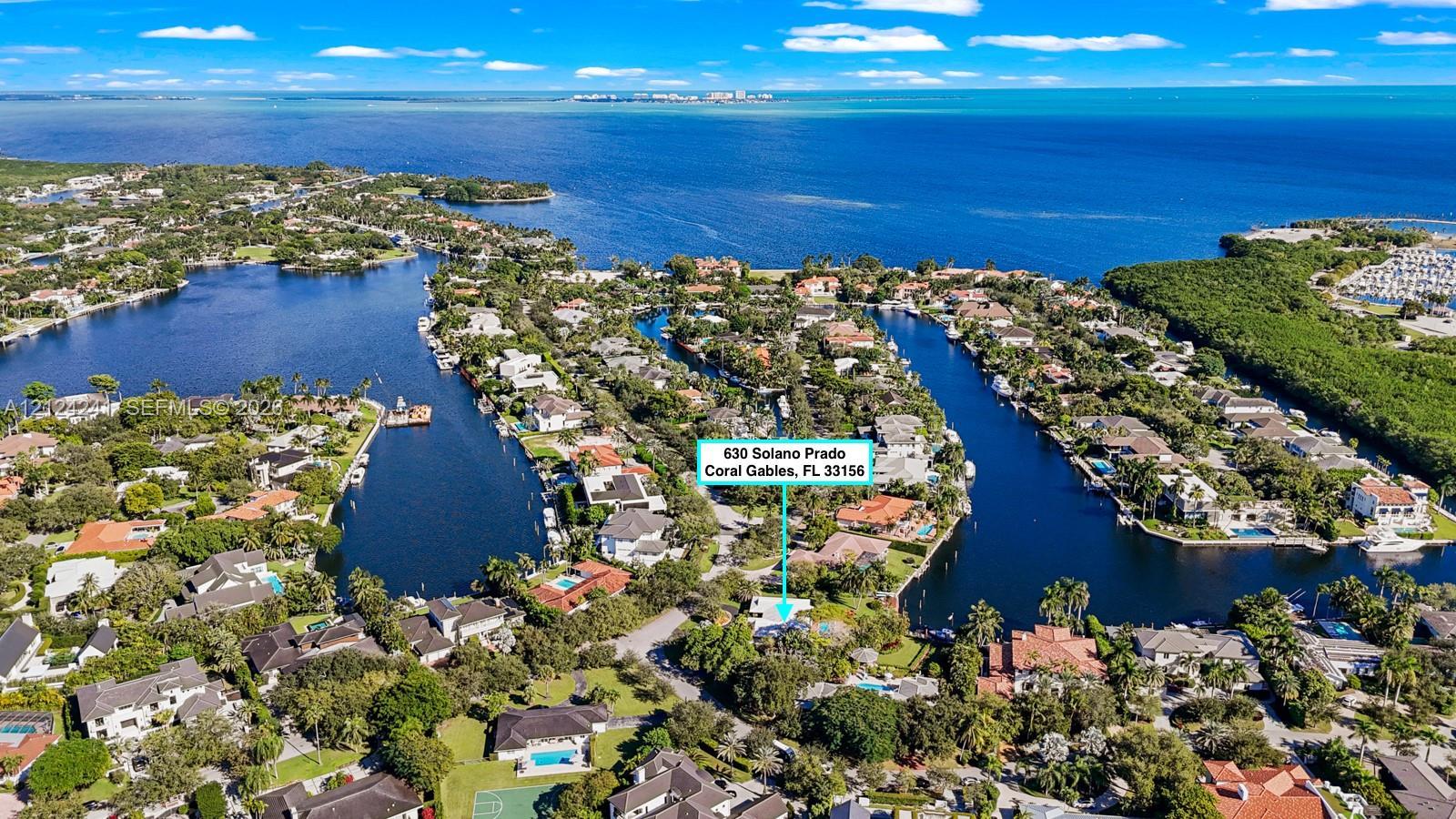
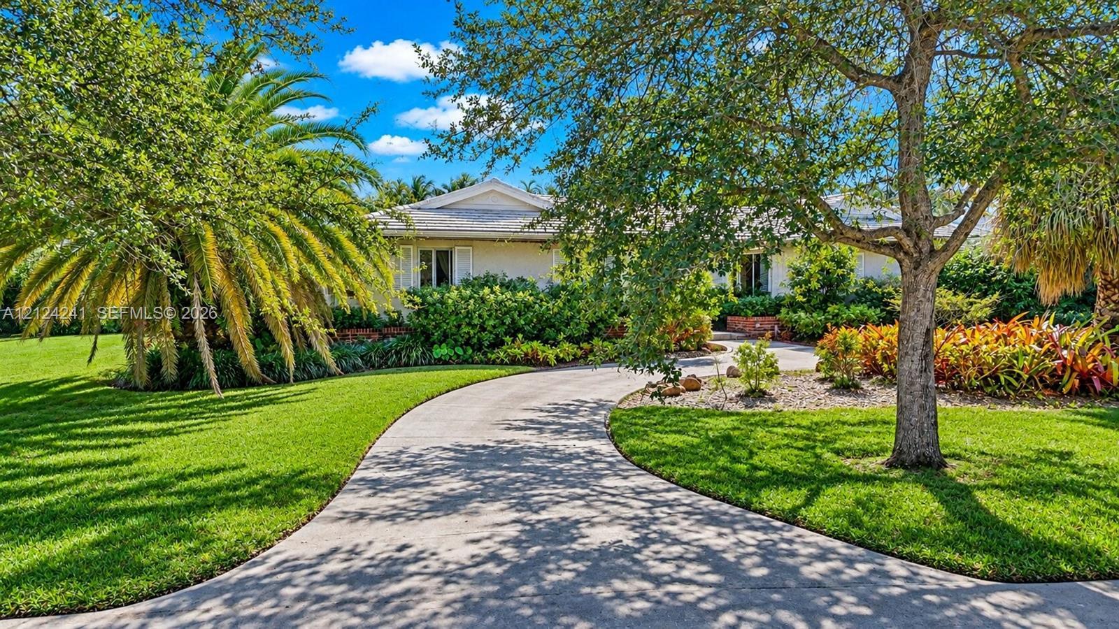
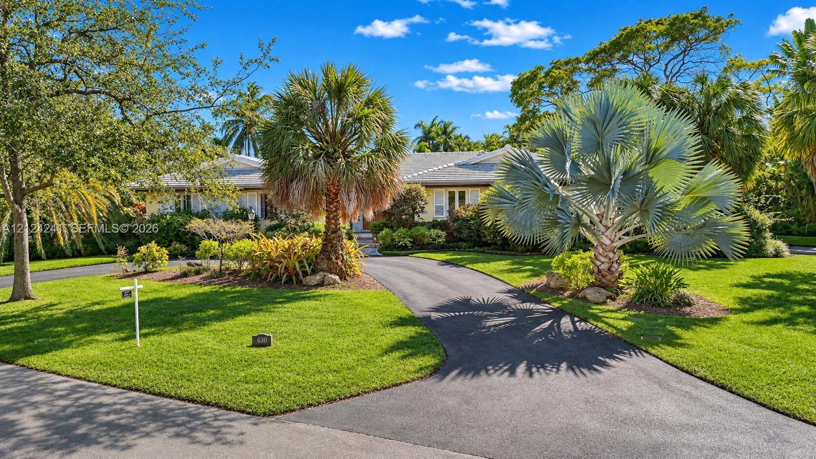
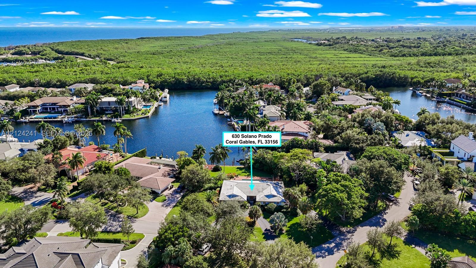
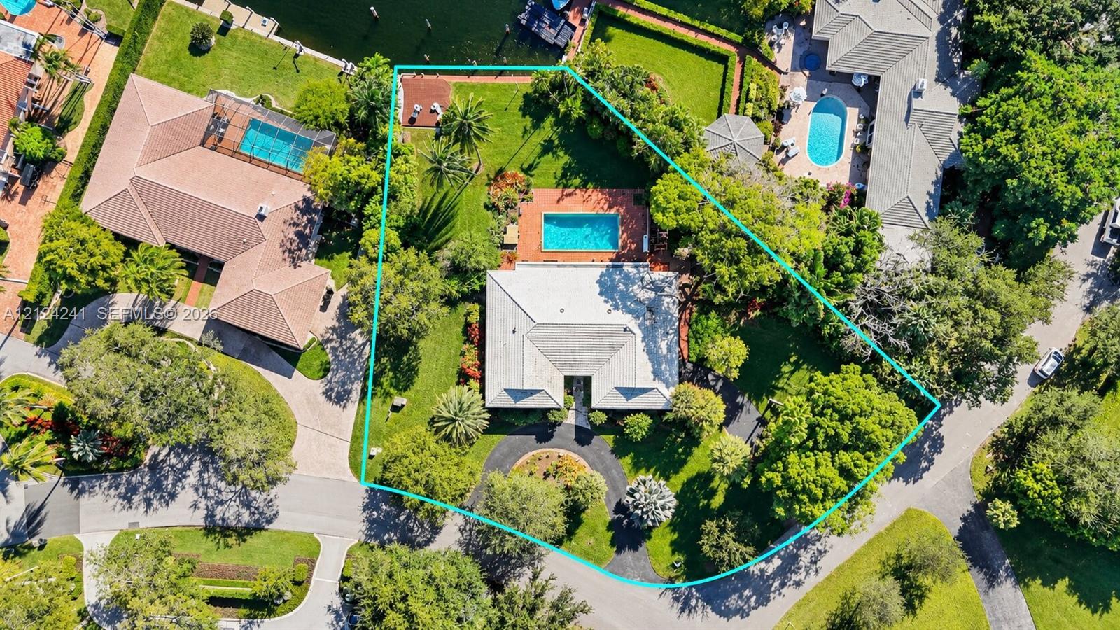
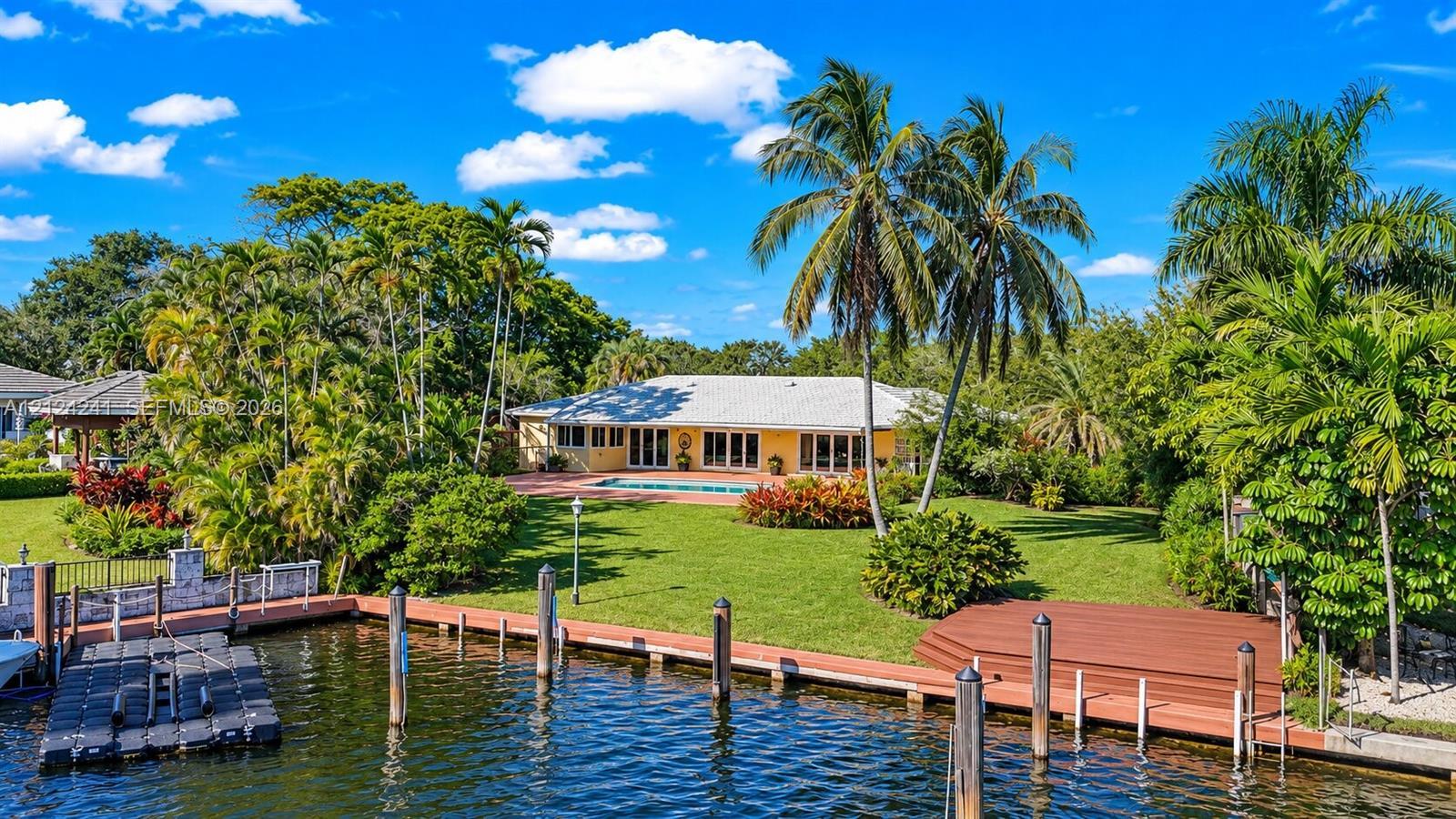
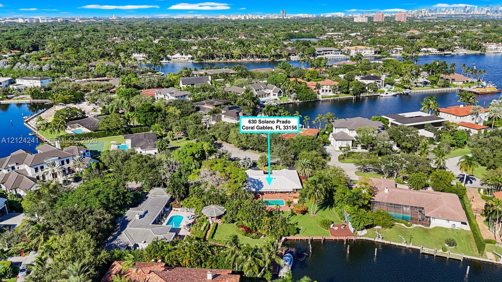
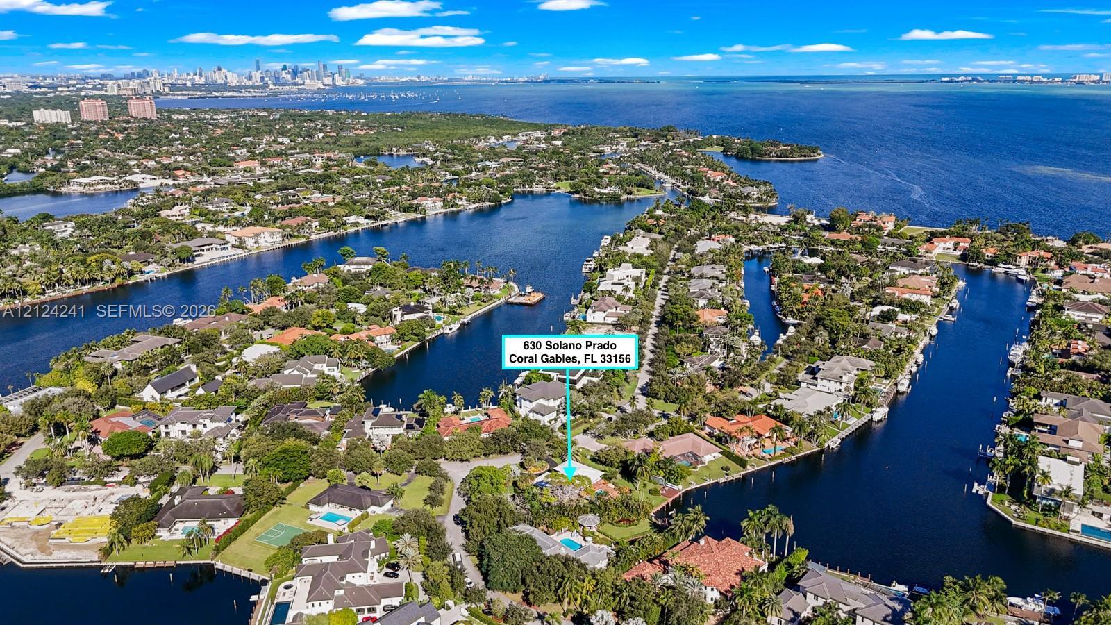
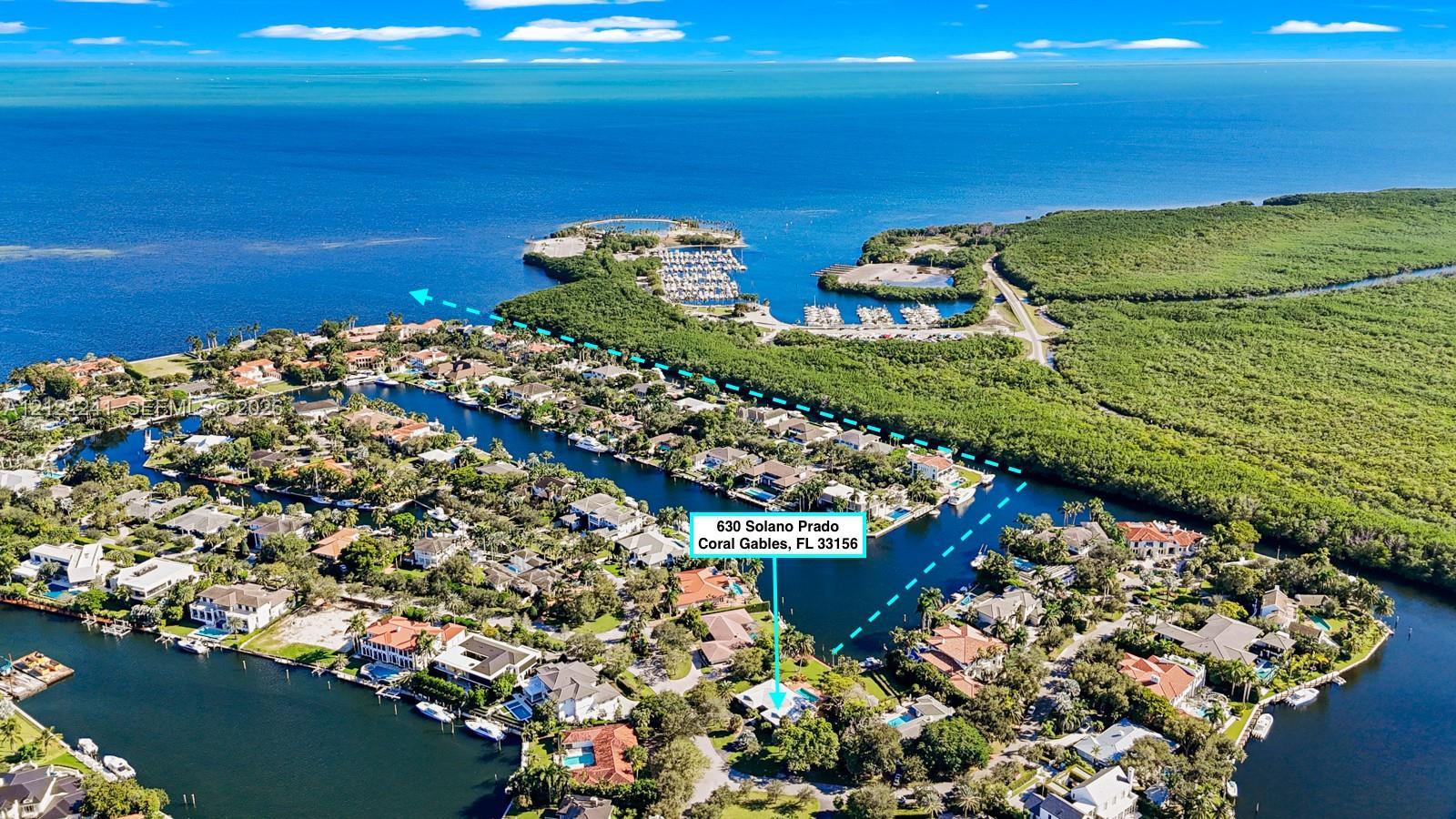
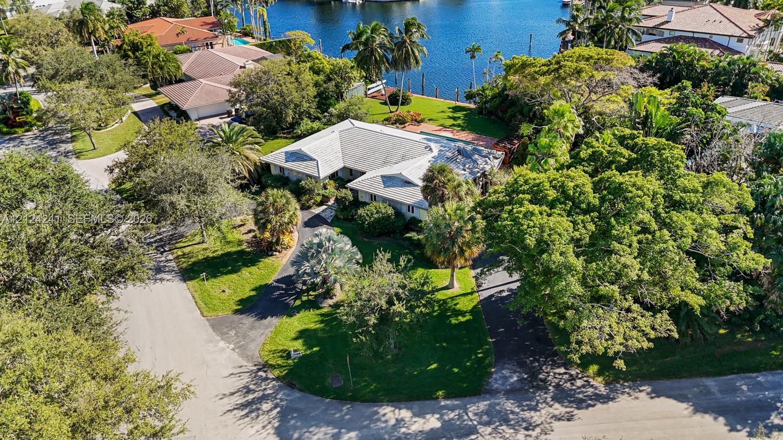
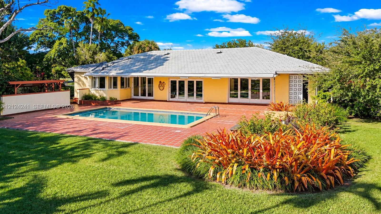
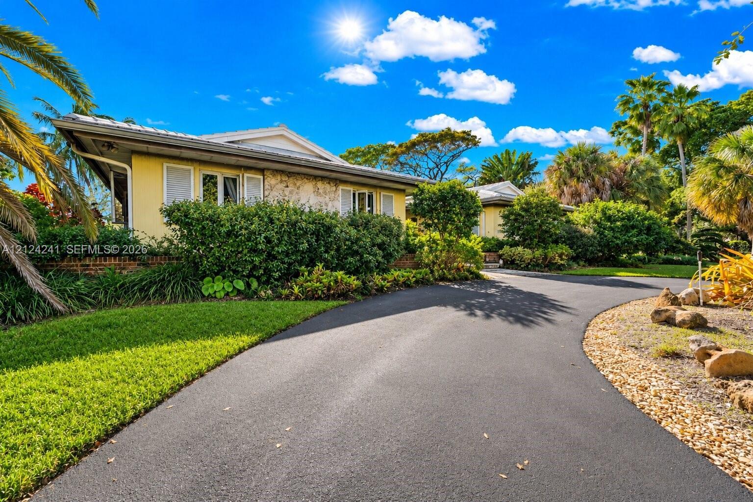
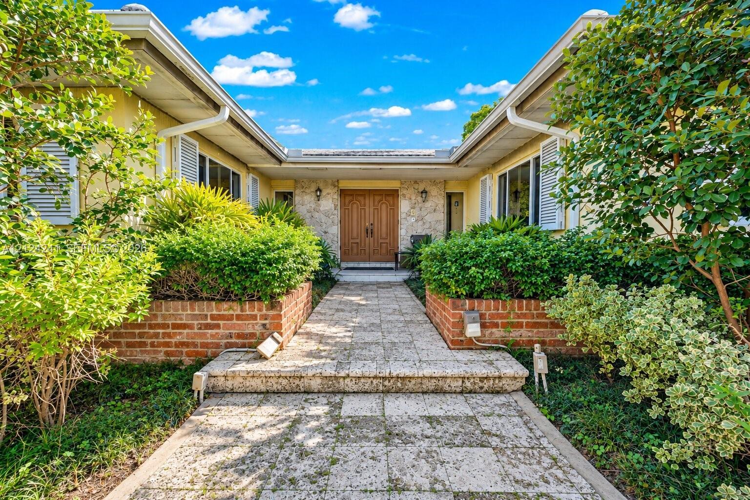
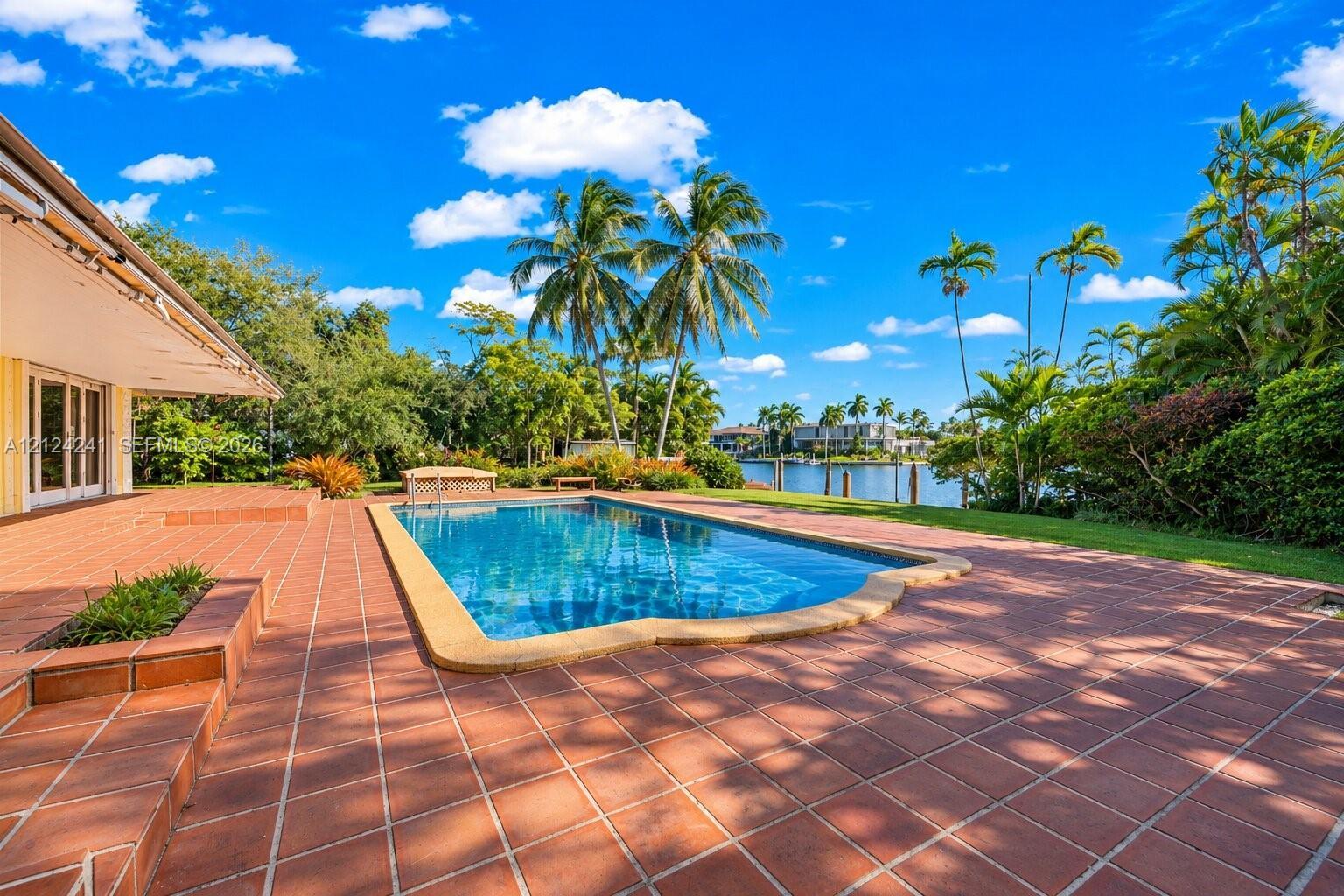
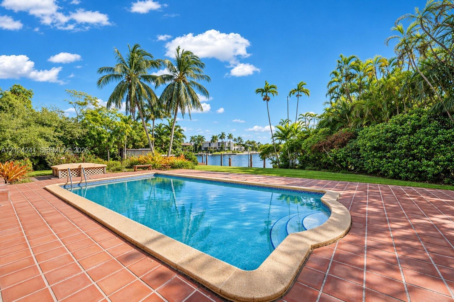
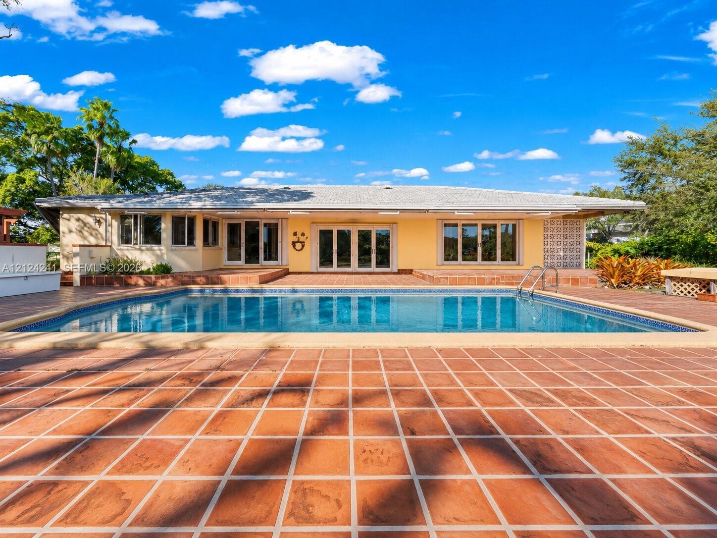
Rarely available waterfront property in prestigious Old Cuter Bay in Coral Gables. Build your dream home on an Oversized 27,495 square foot lot in a guard gated community with wide water view of Matheson Hammock Park, 67 foot on a deep water canal with direct ocean access and no bridges to bay.
Schedule a Showing
See the property and tour the dock. A licensed waterfront specialist will arrange your private showing.
Select a date
Location
Coral Gables, FL, 33156
Displayed by Blue Mar Real Estate Group Inc., Licensed Florida Real Estate Broker (DBPR CQ1018554) · [email protected]
Listing courtesy of Jeanne Baker Real Estate, LLC. via MIAMI REALTORS®
Last checked: 20 hours ago
Listing updated: November 19, 2026
© 2026 Miami Association of REALTORS®, Inc. All rights reserved. The data relating to real estate for sale on this website comes in part from the Internet Data Exchange program of the Miami Association of REALTORS®. Information is deemed reliable but not guaranteed. All properties are subject to prior sale, change, or withdrawal.
IDX information is provided exclusively for consumers' personal, non-commercial use. It may not be used for any purpose other than to identify prospective properties consumers may be interested in purchasing.
Dock Score™
DockOnlyWhat shaped this score
DockOnly.com rating, not provided by the MLS or listing broker.
Mortgage Calculator
Estimate your monthly payment for this waterfront property
$2,199,800 down
Estimated payments only. Actual rates and terms may vary.


