




509 NE Solida Cir
Port St. Lucie, FL, 34983
Pending$590,000
509 NE Solida Cir
Port St. Lucie, FL, 34983
Pending$590,000
4
Bedrooms
3
Bathrooms
—
Living Area
1989
Year Built
216
Days on Market
Dock Score™
DockOnlyWhat shaped this score
DockOnly.com rating, not provided by the MLS or listing broker.
Dock & Water AccessMLS
AI Aerial Imagery Detection
Detected by AI from open-source aerial mapping imagery and may not reflect current conditions. This information was not provided by the MLS or listing broker. Always verify dock infrastructure with the listing agent.
Canal WidthDockOnly
At the dock
County parcel dataSingle measurement at the dock · width variation along the canal not yet available
Measured perpendicular from this parcel's waterfront edge to the parcel directly across the canal, using surveyed county GIS boundaries.
Will it turn around?
Up to 37 ft
Easy
handling
37–50 ft
Fits
with care
50–57 ft
Tight
(back-in)
Boats over 57 ft typically back in/out rather than turning here. Clear channel ≈ 75 ft with boats moored both sides (~13 ft per side for dock + beam). Wide-beam yachts need the upper end of each range.
Navigation RouteDockOnly
Data sources: SFWMD AHED waterway polygons · FHWA National Bridge Inventory 2024 · Not provided by the MLS or listing broker.
Description
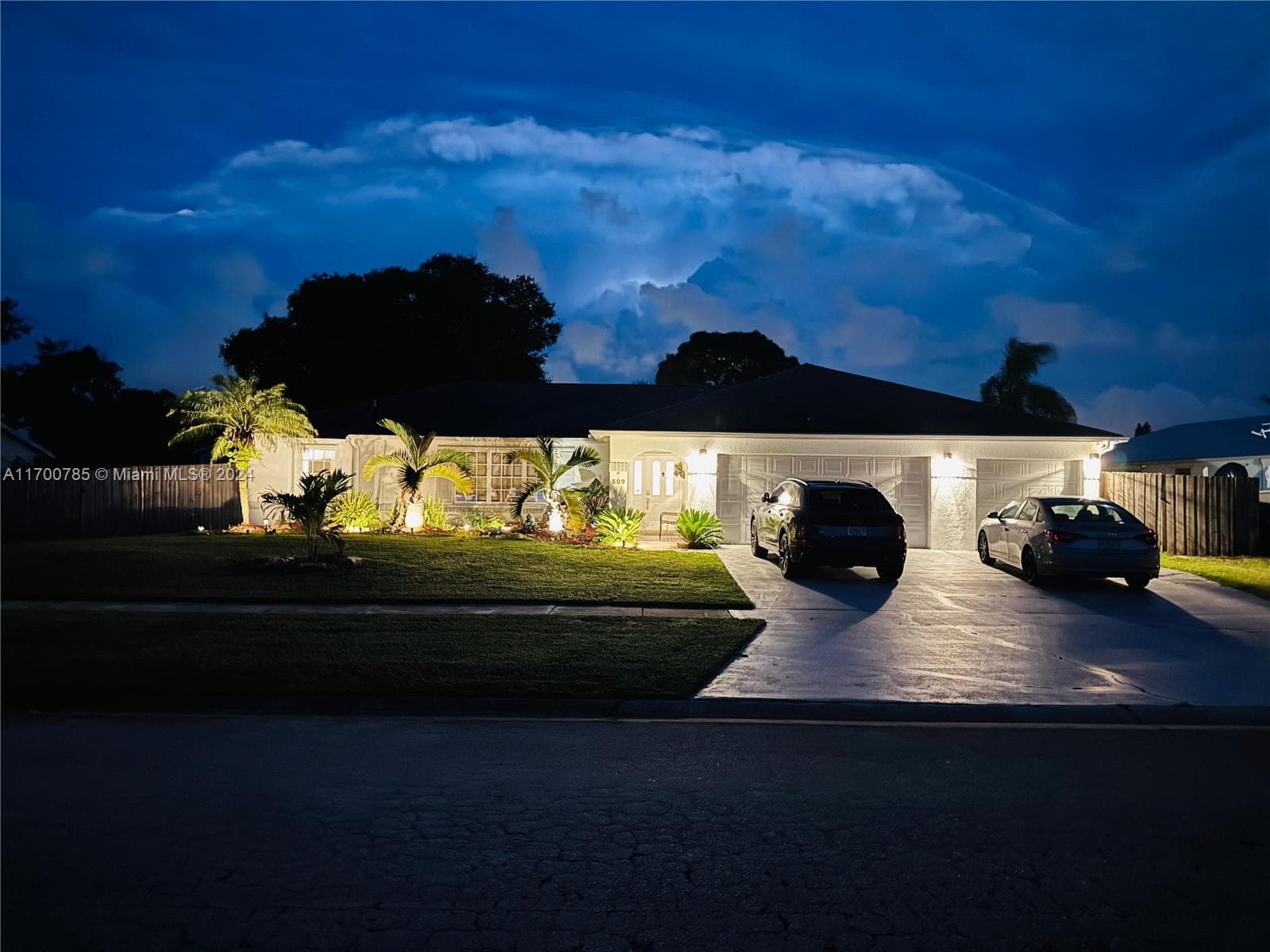
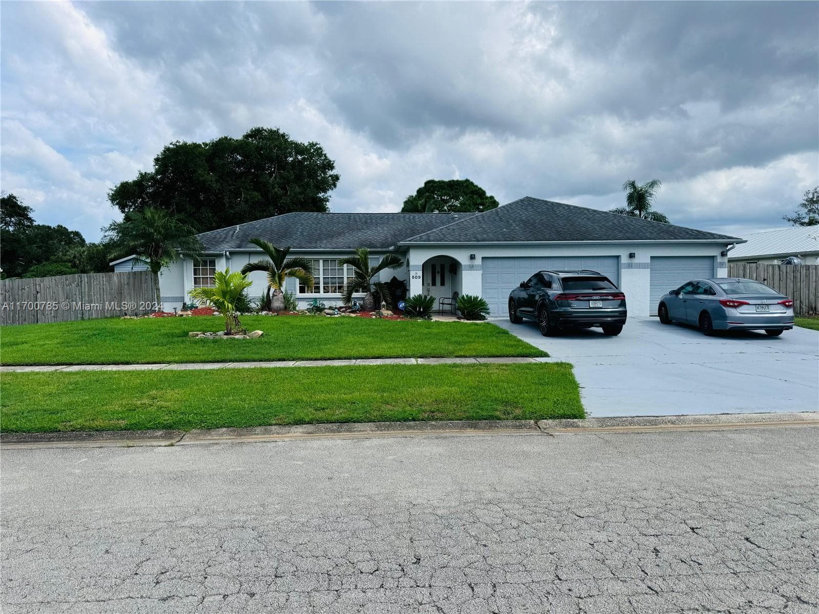
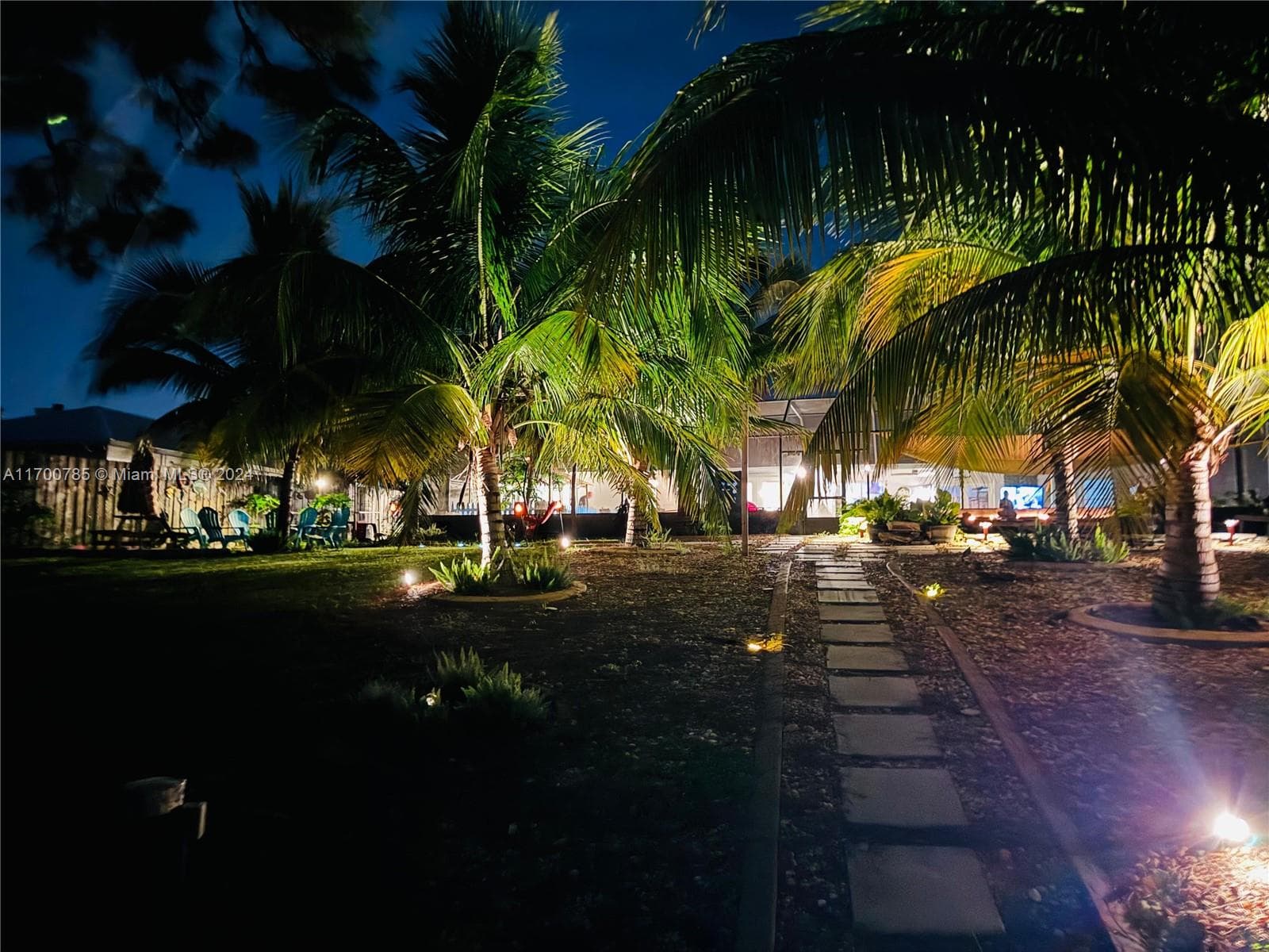
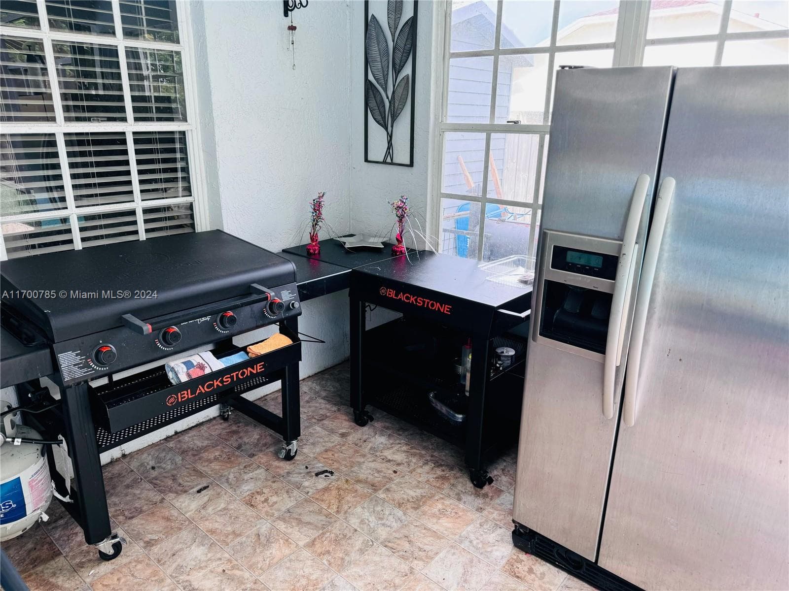
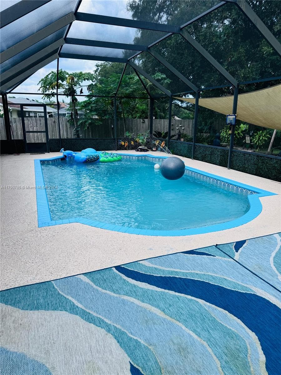
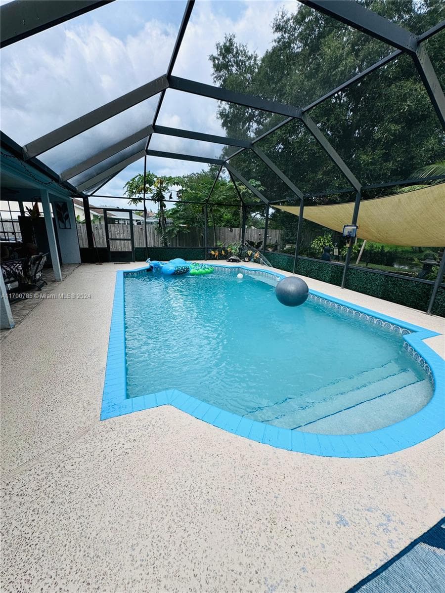
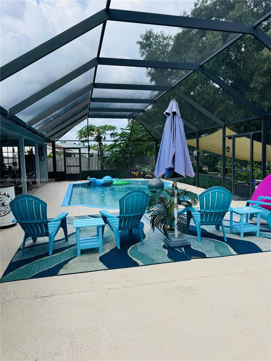
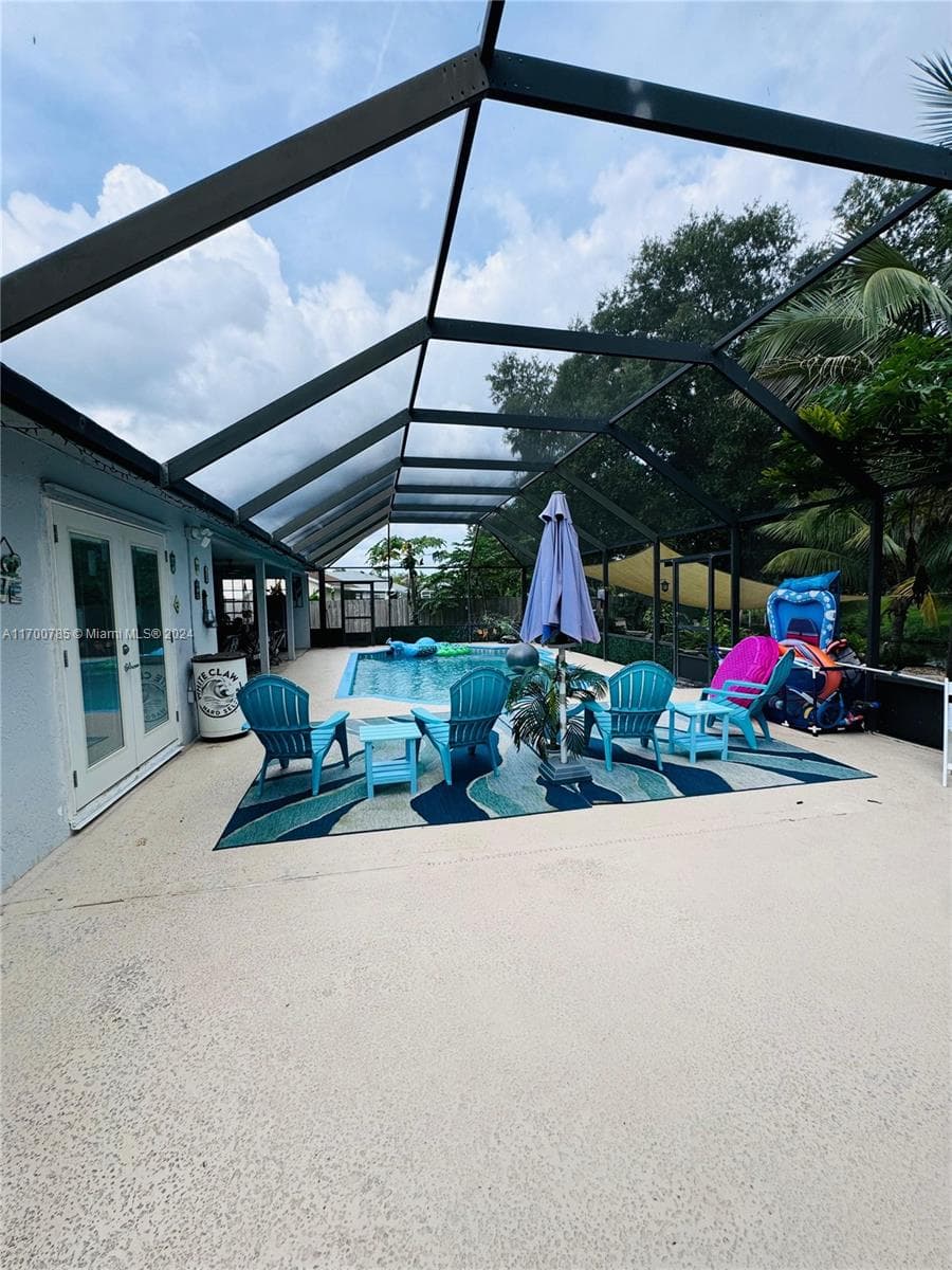
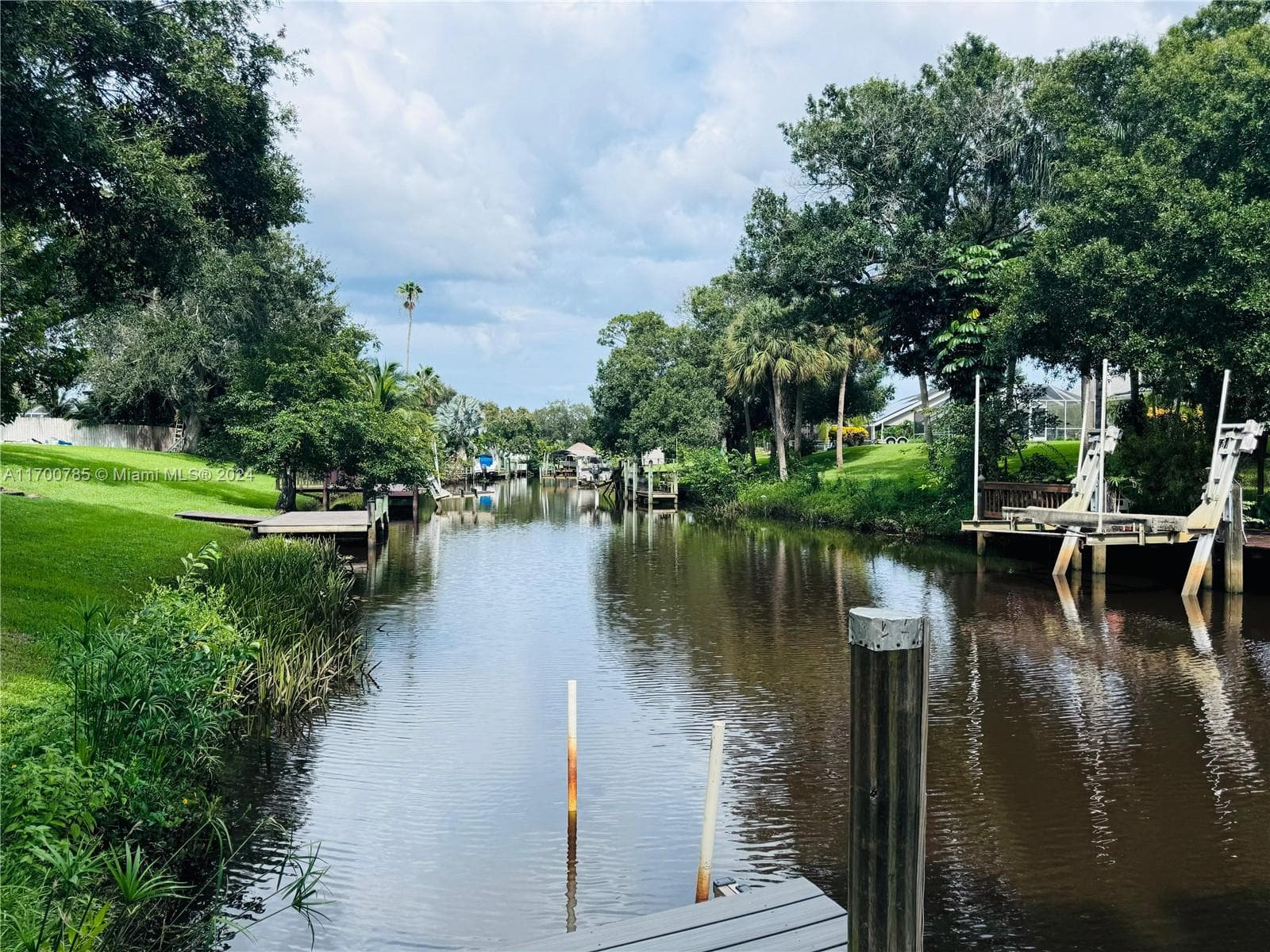
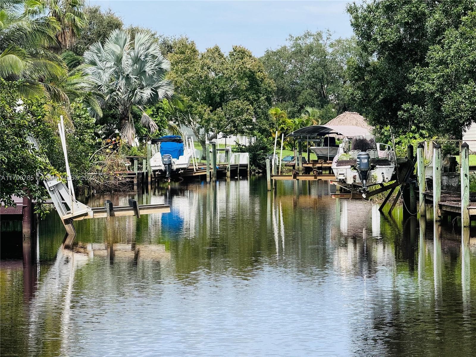
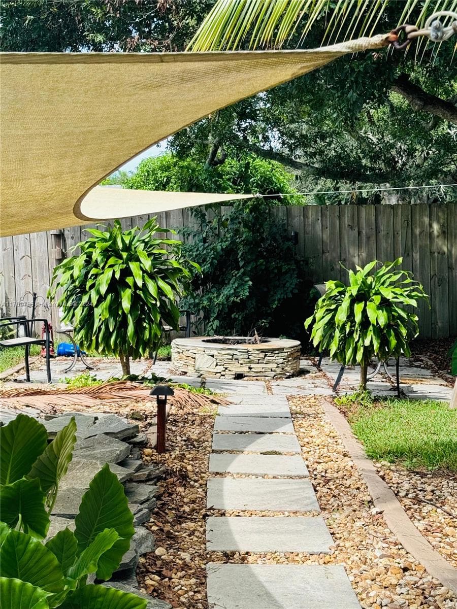
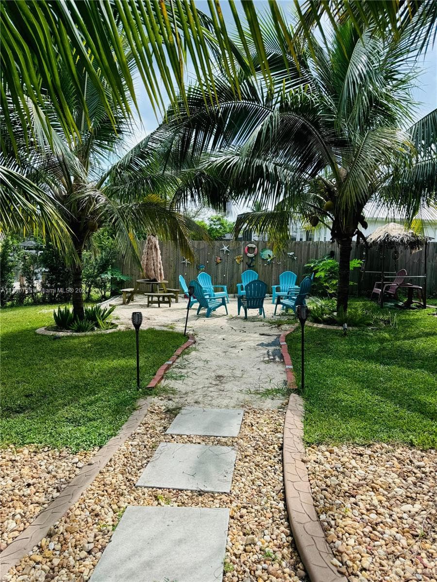
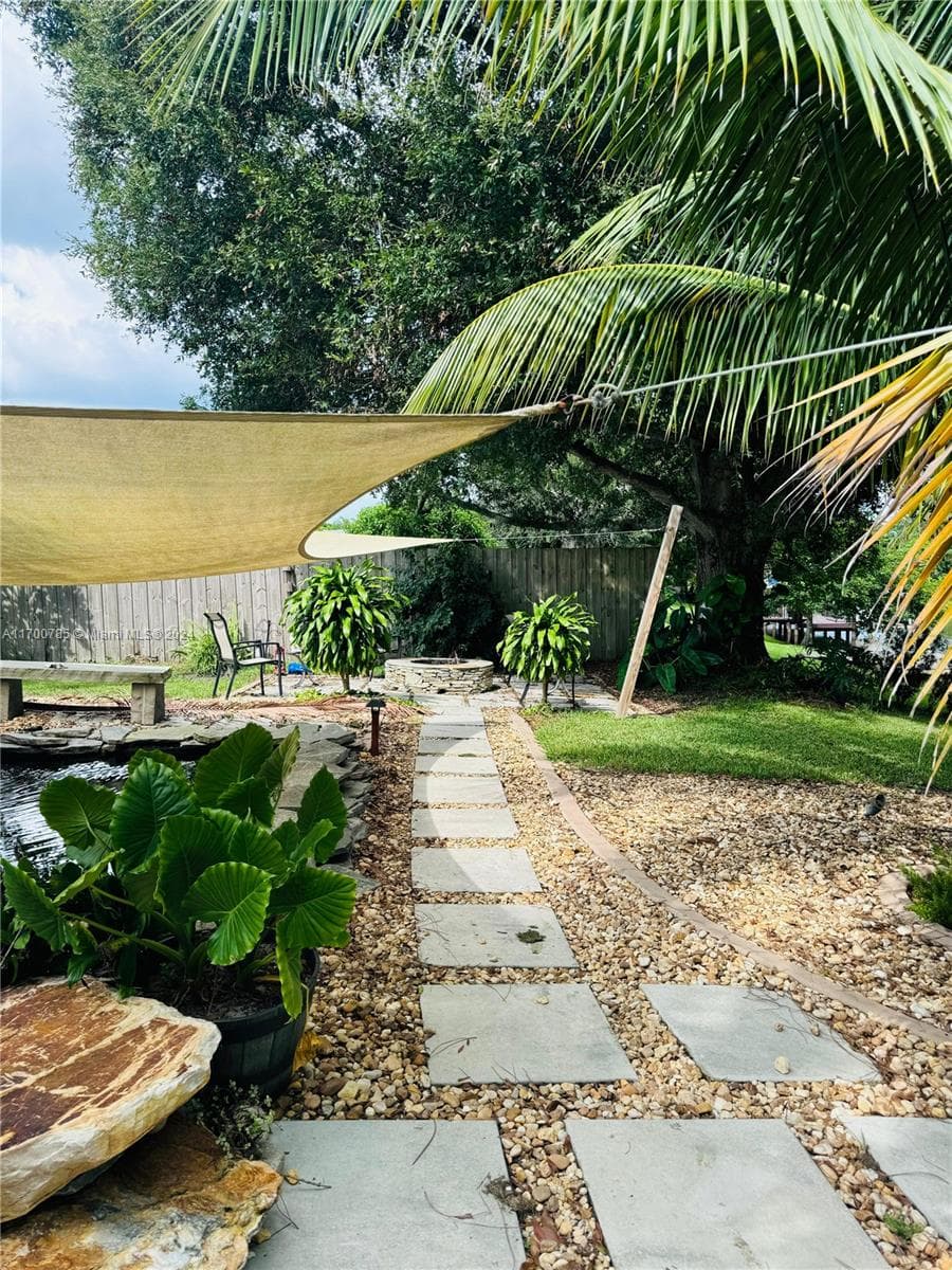
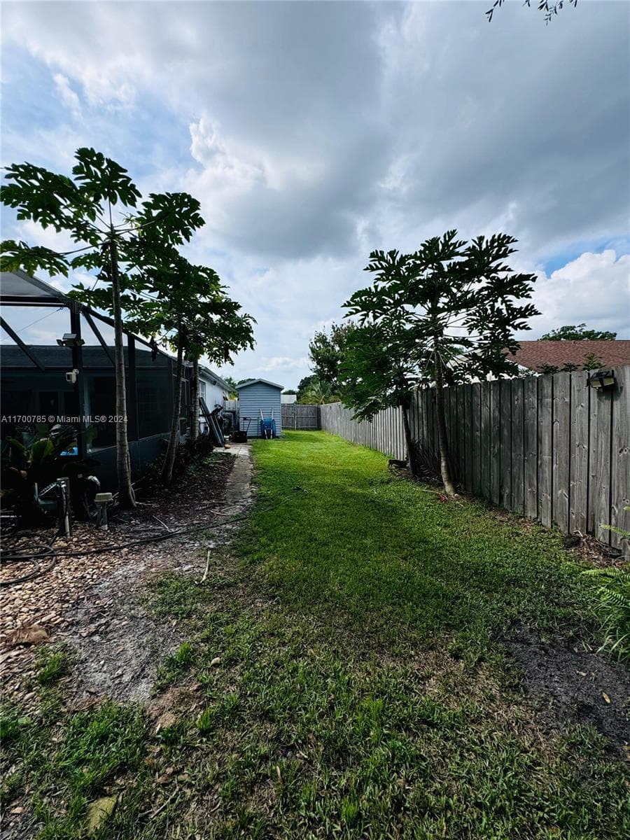
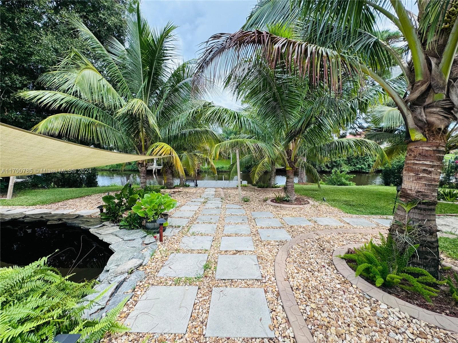
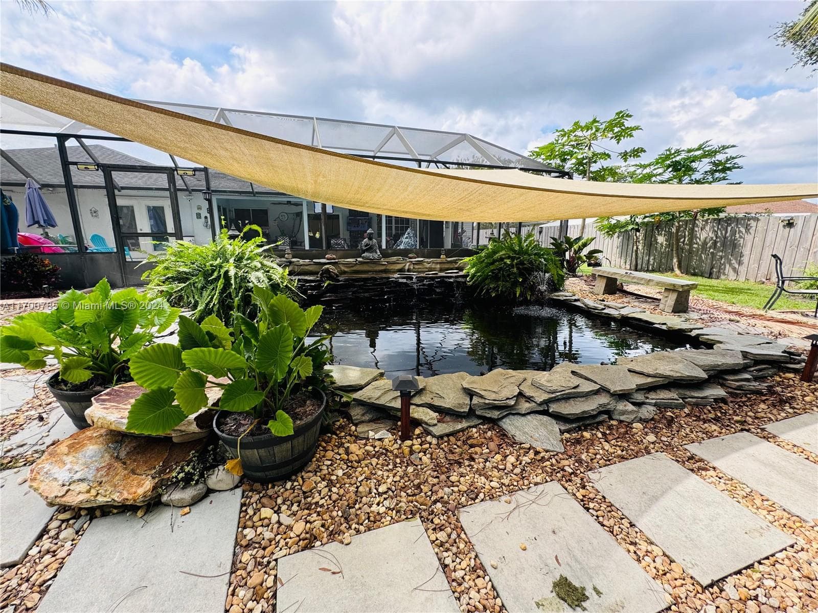
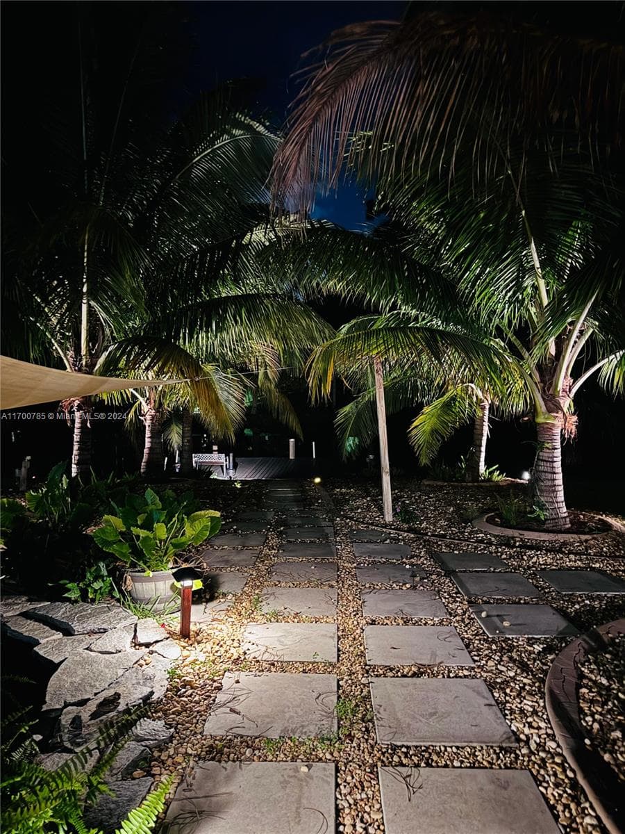
OCEAN ACCESS on large private lot , 4 beds, 3 full baths, 3 car garage, Pool, private dock and nice back patio for outdoor living. Bring your Boats, RVs, jet skis, trailers or anything you need to store there is plenty of room. The open-concept layout seamlessly connects the living, dining, and kitchen areas, making it perfect for entertaining. The primary suite provides a private retreat with direct access to the pool and the patio. Seller will help buyer with 10k towards closing.
Schedule a Showing
See the property and tour the dock. A licensed waterfront specialist will arrange your private showing.
Select a date
Location
Port St. Lucie, FL, 34983
Displayed by Blue Mar Real Estate Group Inc., Licensed Florida Real Estate Broker (DBPR CQ1018554) · [email protected]
Listing courtesy of Best Realty of Miami via MIAMI REALTORS®
Last checked: 2 hours ago
Listing updated: June 26, 2026
© 2026 Miami Association of REALTORS®, Inc. All rights reserved. The data relating to real estate for sale on this website comes in part from the Internet Data Exchange program of the Miami Association of REALTORS®. Information is deemed reliable but not guaranteed. All properties are subject to prior sale, change, or withdrawal.
IDX information is provided exclusively for consumers' personal, non-commercial use. It may not be used for any purpose other than to identify prospective properties consumers may be interested in purchasing.
Dock Score™
DockOnlyWhat shaped this score
DockOnly.com rating, not provided by the MLS or listing broker.
Mortgage Calculator
Estimate your monthly payment for this waterfront property
$118,000 down
Estimated payments only. Actual rates and terms may vary.


